
1952 Map of Ervay Basin
USGS Topo · Published 1954About this map
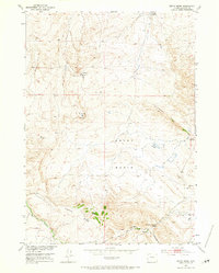
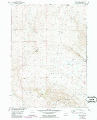
Ervay Basin and the surrounding high plains of Natrona County reveal a landscape of livestock ranching and water resource development in the early 1950s. The presence of the JE Ranch, the adjacent JE School, and JE Sulphur Spring indicates a well-established local cattle operation that supported a small community of residents. To the east, the settlement of Raderville sits near the headwaters of the Powder River, while the southern reaches of the map are defined by the high relief of Cyclone Ridge. The distribution of man-made water sources, such as Wagner Well, Hart Well, and Defelder Reservoir, underscores the necessity of groundwater management for sustaining life in this arid basin. Modern infrastructure, including a prominent Pipe Line and the Poison Spider Rd, cuts through the older terrain of the Coalbank Hills, marking the intersection of traditional western ranching with postwar energy development.
Find a feature on this map
23 named features on this map. Tap any name to fly to it.
Don’t see what you’re looking for? This feature index may not catch every label — zoom into the map to look around manually.
Map Details
Editions of this 1952 Ervay Basin Map
3 editions found
Other maps of this area

1952 · Ervay Basin SW
USGS Topo · 1:24,000

1952 · Arminto SW
USGS Topo · 1:24,000

1952 · Gas Hills
USGS Topo · 1:24,000

1952 · Moneta SE
USGS Topo · 1:24,000

1952 · Miles Ranch
USGS Topo · 1:24,000

1952 · Hiland
USGS Topo · 1:24,000

1955 · Arminto
USGS Topo · 1:250,000

1955 · Casper
USGS Topo · 1:250,000

1957 · Miles Ranch
USGS Topo · 1:24,000

1958 · Casper
USGS Topo · 1:250,000