
1952 Map of Grave Spring
USGS Topo · Published 1953About this map
Grave Spring serves as a central landmark in this high-altitude landscape where the Bighorn Mountains drop toward the Powder River Basin. The intricate drainage network of the early 1950s is remarkably detailed, showing the convergence of the North Fork, Middle Fork, and South Fork Powder River. This area, mapped for the Missouri River Basin development program, captures the topography of Wyoming's ranching and livestock country before modern infrastructure altered local trails. Points of interest for local historians include Pearce and the various branches of Buffalo Creek and Cottonwood Creek. The presence of VABM 8863 Pearce and numerous benchmark markers across the slopes illustrates the intense surveying effort required to document these high ridges and spring-fed canyons.
Find a feature on this map
15 named features on this map. Tap any name to fly to it.
Don’t see what you’re looking for? This feature index may not catch every label — zoom into the map to look around manually.
Map Details
Editions of this 1952 Grave Spring Map
This is the sole edition of this map. No revisions or reprints were ever made.
Other maps of this area

1952 · Deadman Butte
USGS Topo · 1:24,000

1952 · Badwater NE
USGS Topo · 1:24,000

1952 · Badwater SE
USGS Topo · 1:24,000

1955 · Arminto
USGS Topo · 1:250,000

1958 · Arminto
USGS Topo · 1:250,000

1962 · Arminto
USGS Topo · 1:250,000

1967 · Gordon Creek
USGS Topo · 1:24,000
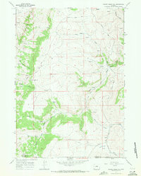
1967 · Cherry Creek Hill
USGS Topo · 1:24,000
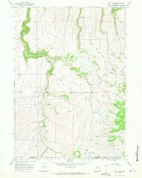
1967 · Lost Creek
USGS Topo · 1:24,000

1968 · First Water Draw
USGS Topo · 1:24,000