Old Maps of Burgess Junction, Wyoming for Academic Research
Study the evolution of Burgess Junction with 13 high-resolution historic maps. Whether you're teaching, researching, or modeling changes in land use, these maps provide essential visual documentation of urban, environmental, and geographic change.
- Analyze long-term change: Track patterns in development, transportation, and natural features.
- Ideal for environmental or urban studies: Support academic projects with primary historical map data.
- Use in the classroom or lab: Educators and researchers rely on these maps to bring historical context to life.
These maps are a powerful tool for teaching, research, and visualizing how Burgess Junction has changed over the decades.
Burgess Junction, WY maps
(13)- 1898 Map of Bald Mountain, 1957 Print
 1898 Bald Mountain1957 Print · USGSThe northern Bighorn Mountains appear in the 1890s as a frontier of high-altitude ranching and mining. Trace the early trails leading to the Fortunatus Mill, remote landmarks like Sheldons Ranch, and the isolated settlement of Cloverly.2 unique versions available
 - 1901 Map of Bald Mountain
 1901 Bald Mountain1901 Print · USGSNorthern Wyoming's high peaks and timber reserves are captured here at the turn of the century. Researchers can trace early industrial sites like Fortunatus Mill and the isolated settlement of Cloverly near the Shell Creek drainage.4 unique versions available
 - 1955 Map of Sheridan, 1973 Print
 1955 Sheridan1973 Print · USGSThe Bighorn Mountains meet the Powder River Basin in the 1950s, a period when cattle ranching and coal mining defined the regional economy. Genealogists and historians can trace local landmarks like the Fort Mackenzie Veteran Hospital, the Monarch Coal Mine, and legacy operations such as the Beckton Stock Farm.2 unique versions available
 - 1958 Map of Sheridan
 1958 Sheridan1958 Print · USGSThe Bighorn Mountains meet the high plains in the mid-1950s, revealing a landscape of large-scale ranching and mineral extraction. Trace the legacy of early settlements and industry through the Kleenburn Coal Tipple, Beckton Stock Farm, and the Hidden Dome Oil & Gas Field.2 unique versions available
 - 1962 Map of Sheridan
 1962 Sheridan1962 Print · USGSThe Big Horn Mountains and Powder River country are captured here in the early sixties as energy production and ranching shaped northern Wyoming. Researchers can locate specific sites like the Kleenburn Coal Tipple, Eaton Bros Ranch, and the Fort McKenzie Veteran Hospital.
 - 1964 Map of Burgess Junction, 1967 Print
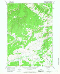 1964 Burgess Junction1967 Print · USGSBighorn National Forest in the mid-1960s showcases a high-country landscape of ranching camps and early mountain tourism. Local historians can trace the sites of Wolfe Cow Camp, the Burgess Ranger Station, and the industrial footprint of a local Sawmill.3 unique versions available
 - 1970 Map of Burgess Junction, 1979 Print
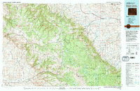 1970 Burgess Junction1979 Print · USGSThe Bighorn Mountains meet the Tongue River valley in the late 1970s, showcasing a landscape of high-altitude forest and foothill settlements. Genealogists and historians can trace the rail towns of Monarch and Ranchester or locate old mountain landmarks like Steamboat Point and Burgess Junction.
 - 1979 Map of Burgess Junction
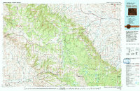 1979 Burgess Junction1979 Print · USGSSheridan County and the Bighorn front are captured in the late seventies as the region balanced mountain wilderness with industrial growth. Local researchers can trace early transportation routes like the Burlington Northern rail line and locate old sites at Kleeburn and Monarch.
 - 1993 Map of Burgess Junction, 1997 Print
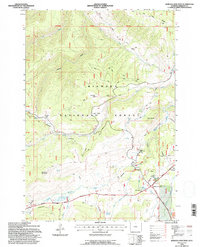 1993 Burgess Junction1997 Print · USGSHigh in the Bighorn Mountains during the early nineties, this survey captures a landscape of forestry operations and alpine grazing. Researchers can trace forest management sites like Burgess Work Center and family-named landmarks such as Schuler Park.
 - 2012 Map of Burgess Junction, 2012 Print
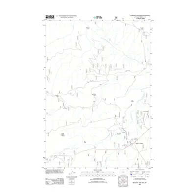 2012 Burgess Junction2012 Print · USGSCovers Burgess Junction, including Sheridan County, United States, and other nearby areas
 - 2015 Map of Burgess Junction, 2015 Print
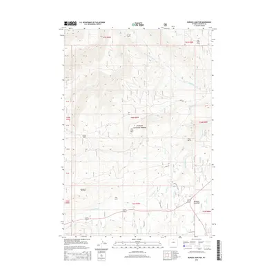 2015 Burgess Junction2015 Print · USGSCovers Burgess Junction, including Sheridan County, United States, and other nearby areas
 - 2017 Map of Burgess Junction, 2017 Print
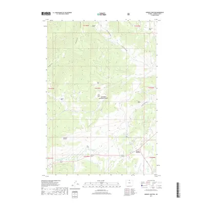 2017 Burgess Junction2017 Print · USGSCovers Burgess Junction, including Sheridan County, United States, and other nearby areas
 - 2021 Map of Burgess Junction, 2021 Print
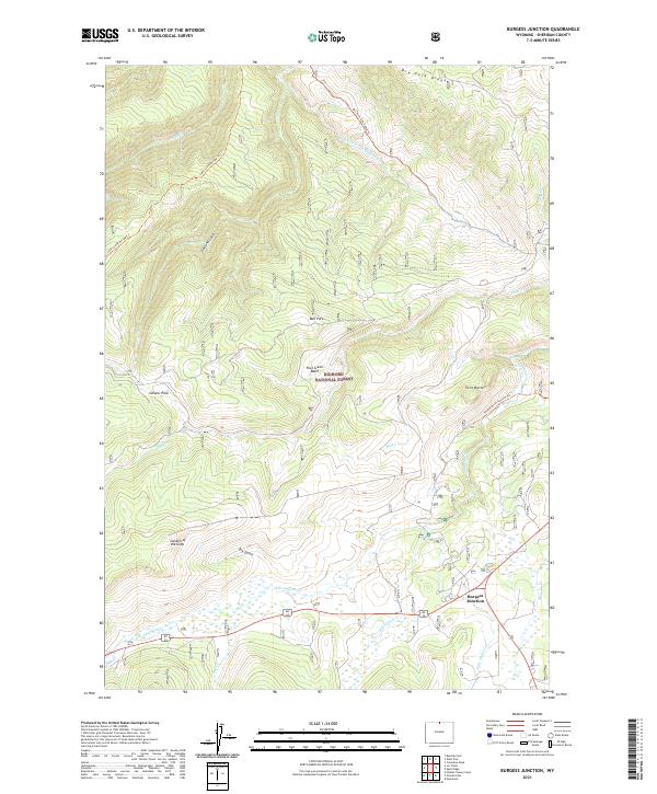 2021 Burgess Junction2021 Print · USGSSheridan County's high country is captured here during the twenty-first century, centered on the intersection of routes at Burgess Junction. Local historians can trace early mountain paths like the Lake Creek Divide Trl and investigate landmarks such as Garden of the Gods and Fool Creek Basin.
End of results
Showing maps 1-13 of 13
Frequently asked questions
- What are the different types of historical maps available for Burgess Junction?
- What is the oldest map of Burgess Junction?
- Where can I purchase historical maps of Burgess Junction for my home or office?
- Where can I download high-res historical maps of Burgess Junction?
- Are there historical topographic maps available for Burgess Junction?
- Is there historical aerial imagery available for Burgess Junction?
- Where are historical maps of Burgess Junction sourced from?