Old Maps of Bondurant, Wyoming for Genealogy
Trace your family roots with 11 historic maps of Bondurant. These high-res maps reveal old neighborhoods, homesites, landmarks, and streets — helping you uncover where your ancestors lived and how the area evolved over time.
- Explore historic neighborhoods: Identify where your relatives may have lived in the 1800s or 1900s.
- Compare maps over time: Trace the changes in streets, buildings, and landmarks for multi-generational research.
- Perfect for genealogy & ancestry research: Used by family historians and researchers to map out lineage and migration.
These maps are an incredible resource for exploring your personal connection to Bondurant's past.
Bondurant, WY maps
(11)- 1907 Map of Gros Ventre, 1957 Print
 1907 Gros Ventre1957 Print · USGSRanching life in the Wyoming high country is captured here during the first decade of the century, detailing the homesteads of the Gros Ventre Range. Researchers can trace the legacy of early settlers at Old Kendall and Kendall, or locate family-named landmarks like Loomis Ranch and Twin Creek School.
 - 1910 Map of Gros Ventre
 1910 Gros Ventre1910 Print · USGSThe Gros Ventre Range is shown in the early twentieth century as a network of isolated family homesteads and early forest reserves. Genealogists and historians can trace pioneer roots at Bondurant, Twin Creek School, and Darwin Ranch.3 unique versions available
 - 1955 Map of Driggs, 1967 Print
 1955 Driggs1967 Print · USGSEastern Idaho and Western Wyoming appear at a mid-century crossroads as the river valleys were fully settled and the high peaks protected. Genealogists and researchers can trace the rail towns of Rexburg and Driggs or follow the Snake River from Irwin to the Palisades Reservoir.3 unique versions available
 - 1958 Map of Driggs
 1958 Driggs1958 Print · USGSThe high Teton peaks and Snake River valleys are captured here in the mid-fifties, showing the region's agricultural and wilderness boundaries. Researchers can trace the Union Pacific rail corridor through Rexburg or locate early settlements like Clementsville and Tetonia.2 unique versions available
 - 1962 Map of Driggs
 1962 Driggs1962 Print · USGSThe Idaho-Wyoming borderlands are captured here in the early sixties, showing the peaks and valleys of the northern Rockies. Genealogists and historians can trace rail lines like the Union Pacific RR and isolated outposts like the National Elk Refuge or the Fort Hall Indian Reservation.
 - 1967 Map of Bondurant, 1971 Print
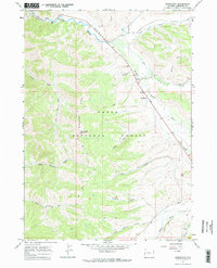 1967 Bondurant1971 Print · USGSThe Hoback River valley near Bondurant is shown in the late sixties, a period when forest service management and ranching shaped the local landscape. Genealogists and researchers can locate the Bondurant Cem, the Hoback Guard Sta, and the Monument Ridge Lookout Tower.2 unique versions available
 - 1981 Map of Jackson
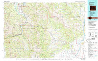 1981 Jackson1981 Print · USGSThe high valleys and peaks surrounding Jackson were undergoing subtle transitions in the early eighties. Genealogists and researchers can trace old mountain outposts like Bondurant, the location of Camp Davis, and the roads leading to Astoria Mineral Hot Springs.
 - 2012 Map of Bondurant, 2012 Print
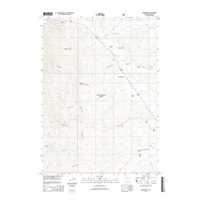
 2012 Bondurant2012 Print · USGSCovers Bondurant, including Sublette County, United States, and other nearby areas
 - 2015 Map of Bondurant, 2015 Print
 2015 Bondurant2015 Print · USGSCovers Bondurant, including Sublette County, United States, and other nearby areas
 - 2017 Map of Bondurant, 2017 Print
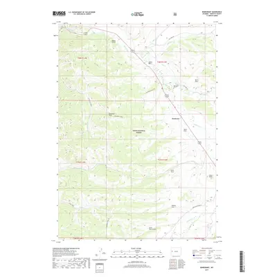 2017 Bondurant2017 Print · USGSCovers Bondurant, including Sublette County, United States, and other nearby areas
 - 2021 Map of Bondurant, 2021 Print
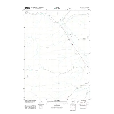
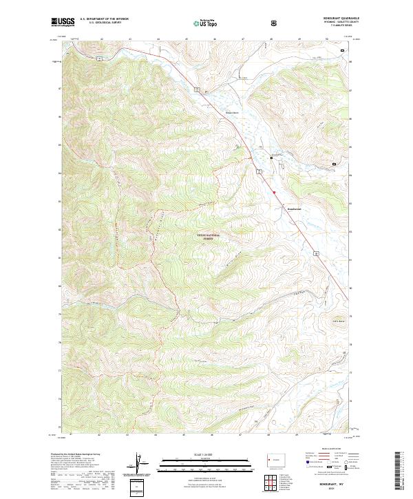 2021 Bondurant2021 Print · USGSBondurant and the upper Hoback River valley are captured here during the early twenty-first century, showing the rugged heart of the Teton National Forest. Researchers can trace land use patterns near the Bondurant Cem and follow high-altitude trails like the Monument Ridge Trl and Little Cliff Creek Trl.
End of results
Showing maps 1-11 of 11
Frequently asked questions
- What are the different types of historical maps available for Bondurant?
- What is the oldest map of Bondurant?
- Where can I purchase historical maps of Bondurant for my home or office?
- Where can I download high-res historical maps of Bondurant?
- Are there historical topographic maps available for Bondurant?
- Is there historical aerial imagery available for Bondurant?
- Where are historical maps of Bondurant sourced from?