Old Maps of Petes Place, Wyoming for Academic Research
Study the evolution of Petes Place with 10 high-resolution historic maps. Whether you're teaching, researching, or modeling changes in land use, these maps provide essential visual documentation of urban, environmental, and geographic change.
- Analyze long-term change: Track patterns in development, transportation, and natural features.
- Ideal for environmental or urban studies: Support academic projects with primary historical map data.
- Use in the classroom or lab: Educators and researchers rely on these maps to bring historical context to life.
These maps are a powerful tool for teaching, research, and visualizing how Petes Place has changed over the decades.
Petes Place, WY maps
(10)- 1954 Map of Rock Springs, 1969 Print
 1954 Rock Springs1969 Print · USGSSouthern Wyoming at the peak of the mid-century energy boom is defined by the vital rail corridor and the high desert of the Red Desert Basin. Trace the development of mining towns like Superior and Reliance alongside the Union Pacific RR and historical landmarks like Pilot Butte.2 unique versions available
 - 1958 Map of Rock Springs
 1958 Rock Springs1958 Print · USGSThe high desert of Sweetwater County comes into focus during the mid-1950s, centered on the rail-and-road corridor through Rock Springs. Genealogists and historians can trace family landholdings and infrastructure at Barnhart Ranch, Little America, and the Union Pacific line.2 unique versions available
 - 1962 Map of Rock Springs
 1962 Rock Springs1962 Print · USGSThe high desert of Sweetwater County in the early 1960s reveals a rugged ranching and energy landscape centered on Rock Springs. Genealogists can trace family holdings like the Erikson-Kent Ranch and Barnhart Ranch alongside the Union Pacific line.
 - 1963 Map of Red Creek Ranch, 1966 Print
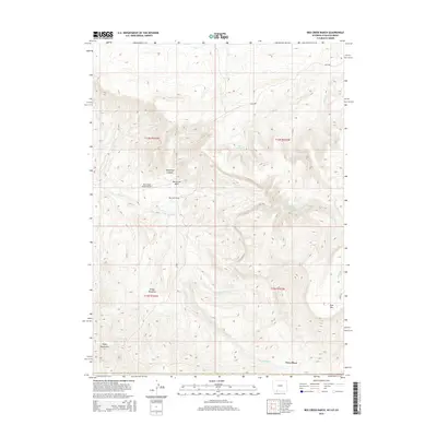
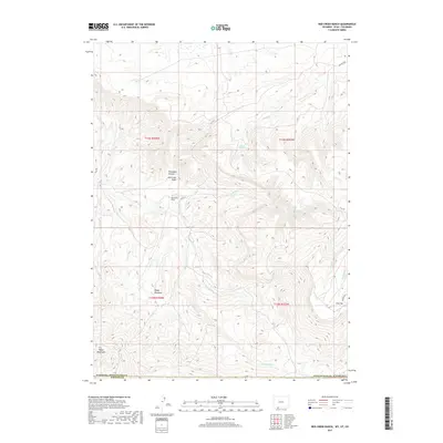
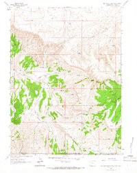 1963 Red Creek Ranch1966 Print · USGSThe tri-state borders of Wyoming, Utah, and Colorado come together in this early 1960s survey of the high desert. Genealogists and local historians can locate remote family outposts like Red Creek Ranch, Meadow Gulch Ranch, and Petes Place among the Red Creek Badlands.2 unique versions available
 - 1980 Map of Firehole Canyon, 1993 Print
 1980 Firehole Canyon1993 Print · USGSSweetwater County and the tri-state border region are mapped here in the early eighties as the reservoir system reshaped the high desert. Researchers can trace remote settlements like McKinnon and landforms such as Massacre Hill and the Red Creek Badlands.2 unique versions available
 - 2011 Map of Red Creek Ranch, 2011 Print
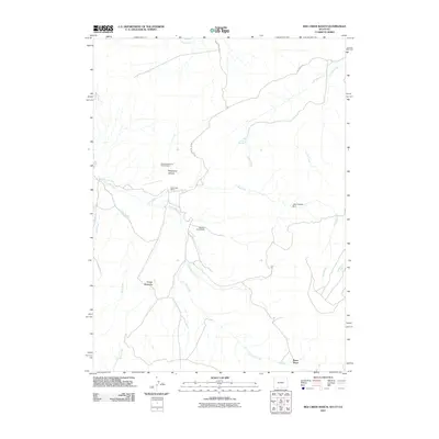 2011 Red Creek Ranch2011 Print · USGSCovers Petes Place, including Sweetwater County, Moffat County, and other nearby areas
 - 2012 Map of Red Creek Ranch, 2012 Print
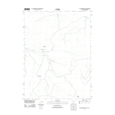 2012 Red Creek Ranch2012 Print · USGSCovers Petes Place, including Sweetwater County, Moffat County, and other nearby areas
 - 2015 Map of Red Creek Ranch, 2015 Print
 2015 Red Creek Ranch2015 Print · USGSCovers Petes Place, including Sweetwater County, Moffat County, and other nearby areas
 - 2017 Map of Red Creek Ranch, 2017 Print
 2017 Red Creek Ranch2017 Print · USGSCovers Petes Place, including Sweetwater County, Moffat County, and other nearby areas
 - 2021 Map of Red Creek Ranch, 2021 Print
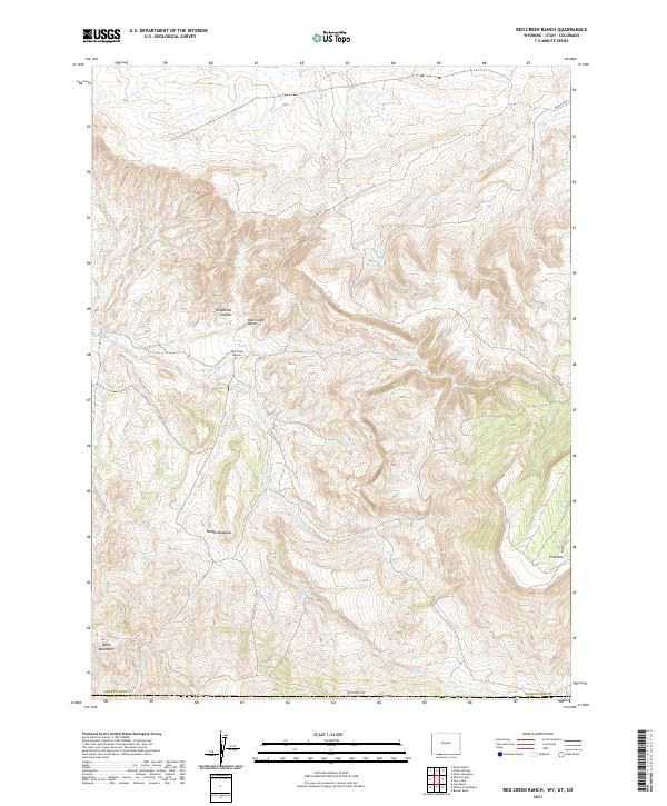 2021 Red Creek Ranch2021 Print · USGSSweetwater County ranching and high-desert hydrology are documented in this recent survey of the Wyoming-Utah-Colorado borderlands. Researchers can trace the remote Red Creek Ranch and landmarks like Telephone Canyon or the Tepee Mountains.
End of results
Showing maps 1-10 of 10
Frequently asked questions
- What are the different types of historical maps available for Petes Place?
- What is the oldest map of Petes Place?
- Where can I purchase historical maps of Petes Place for my home or office?
- Where can I download high-res historical maps of Petes Place?
- Are there historical topographic maps available for Petes Place?
- Is there historical aerial imagery available for Petes Place?
- Where are historical maps of Petes Place sourced from?