
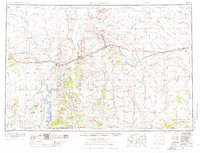
1954 Map of Rock Springs
USGS Topo · Published 1969About this map
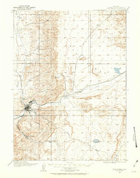
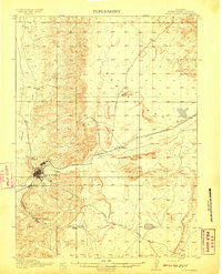
Rock Springs serves as the industrial and transportation hub for this portion of southern Wyoming, where the Union Pacific RR and major roads like Route 30 define the corridor of settlement. The landscape is marked by the high-desert topography of the Red Desert Basin and the winding course of the Green River. Surrounding the main population centers are numerous specialized settlements and mining camps such as Reliance, Stansbury, and Superior, which highlight the region's historical reliance on coal and mineral extraction.
Find a feature on this map
119 named features on this map. Tap any name to fly to it.
Don’t see what you’re looking for? This feature index may not catch every label — zoom into the map to look around manually.
Map Details
Editions of this 1954 Rock Springs Map
2 editions found
Other maps of this area

1885 · Ashley
USGS Topo · 1:250,000

1885 · Uinta
USGS Topo · 1:250,000

1905 · Gilbert Peak
USGS Topo · 1:125,000

1906 · Gilbert Peak
USGS Topo · 1:125,000

1906 · Marsh Peak
USGS Topo · 1:125,000

1908 · Marsh Peak
USGS Topo · 1:125,000
1908 · Rock Springs
USGS Topo · 1:62,500
1910 · Rock Springs
USGS Topo · 1:62,500

1916 · Craig
USGS Topo · 1:125,000
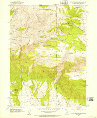
1952 · Willow Creek Butte
USGS Topo · 1:24,000