1908 Map of Rock Springs
USGS Topo · Published 1960About this map
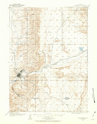
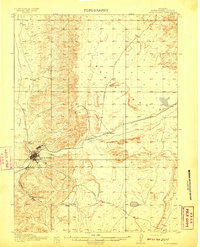
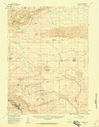
Rock Springs stands at the heart of this high-desert landscape, serving as a vital industrial hub along the Union Pacific railroad line during the early twentieth century. The map illustrates the concentrated development of the city, showing a dense street grid and rail spurs branching toward nearby settlements like Blairtown and the coal mining interests within the Superior Coal District. Transportation routes like the Eden Valley Road and Superior Road extend through the dry terrain, connecting isolated outposts and industrial sites across the Basin.
Find a feature on this map
17 named features on this map. Tap any name to fly to it.
Don’t see what you’re looking for? This feature index may not catch every label — zoom into the map to look around manually.
Map Details
Editions of this 1908 Rock Springs Map
This is the sole edition of this map. No revisions or reprints were ever made.
Other maps of this area
1910 · Rock Springs
USGS Topo · 1:62,500

1954 · Rock Springs
USGS Topo · 1:250,000
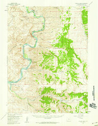
1957 · Firehole Basin
USGS Topo · 1:62,500

1958 · Rock Springs
USGS Topo · 1:250,000
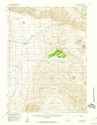
1958 · Boars Tusk
USGS Topo · 1:62,500
1958 · Superior
USGS Topo · 1:62,500
1961 · Pilot Butte
USGS Topo · 1:24,000
1961 · Kanda
USGS Topo · 1:24,000

1962 · Rock Springs
USGS Topo · 1:250,000
1966 · Firehole Basin
USGS Topo · 1:62,500