
1961 Map of Pilot Butte
USGS Topo · Published 1964About this map
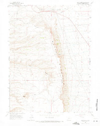
White Mountain dominates this portion of the high plains north of Rock Springs, where the eastern escarpment creates a dramatic transition between the upland plateaus and the lower drainage of Fourteenmile Creek. In the early 1960s, the area remained largely a ranching landscape, anchored by the Fourteenmile Ranch near the northern boundary. The infrastructure of the era is captured by a primary Road winding through the terrain and the presence of Chiltons Cutoff, reflecting established travel corridors through the basin.
Find a feature on this map
10 named features on this map. Tap any name to fly to it.
Don’t see what you’re looking for? This feature index may not catch every label — zoom into the map to look around manually.
Map Details
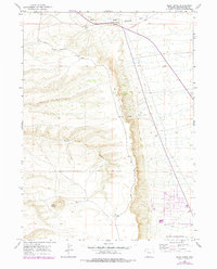
Editions of this 1961 Pilot Butte Map
3 editions found
Other maps of this area

1908 · Rock Springs
USGS Topo · 1:62,500

1910 · Rock Springs
USGS Topo · 1:62,500

1954 · Rock Springs
USGS Topo · 1:250,000

1958 · Rock Springs
USGS Topo · 1:250,000

1958 · Boars Tusk
USGS Topo · 1:62,500

1961 · Scott Spring
USGS Topo · 1:24,000

1961 · Kanda
USGS Topo · 1:24,000

1961 · Green River
USGS Topo · 1:24,000

1962 · Rock Springs
USGS Topo · 1:250,000
1968 · Clay Buttes SE
USGS Topo · 1:24,000