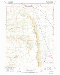
1961 Map of Pilot Butte
USGS Topo · Published 1978About this map
White Mountain dominates the landscape of this Sweetwater County survey, showing the high desert plateau before the significant expansion of nearby Rock Springs. The 1961 field data, updated with 1976 aerial photography, documents a transition in land use from the established Fourteenmile Ranch in the north to the emerging Trailer Park and residential development near the Rock Springs Corporate Boundary in the southeast. Historical travel routes such as Chiltons and the Cutoff intersect the terrain near Fourteenmile Creek, providing evidence of the region's ranching and transit history. The prominent landmark of Pilot Butte stands in the southwest, while the rugged descent of Scott Canyon and the winding White Mountain Road trace the dramatic elevation changes that characterize this high Wyoming basin.
Find a feature on this map
12 named features on this map. Tap any name to fly to it.
Don’t see what you’re looking for? This feature index may not catch every label — zoom into the map to look around manually.
Map Details
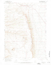
Editions of this 1961 Pilot Butte Map
3 editions found
Other maps of this area

1908 · Rock Springs
USGS Topo · 1:62,500

1910 · Rock Springs
USGS Topo · 1:62,500

1954 · Rock Springs
USGS Topo · 1:250,000

1958 · Rock Springs
USGS Topo · 1:250,000

1958 · Boars Tusk
USGS Topo · 1:62,500

1961 · Scott Spring
USGS Topo · 1:24,000

1961 · Pilot Butte
USGS Topo · 1:24,000

1961 · Kanda
USGS Topo · 1:24,000

1961 · Green River
USGS Topo · 1:24,000

1962 · Rock Springs
USGS Topo · 1:250,000