
1910 Map of Rock Springs
USGS Topo · Published 1910About this map
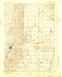
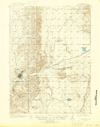
Rock Springs serves as the industrial anchor of this high-desert landscape in the early twentieth century, situated at the confluence of the Union Pacific and Superior railroads. The topography is defined by the drainage of Bitter Creek and Killpecker Creek, which carve through the arid terrain of the Eden Valley and Basin. Small coal-mining and transit settlements like Gunn, Blairtown, and Baxter appear along the rail lines, reflecting the region's total orientation toward resource extraction and transcontinental transport. To the south, the terrain descends into Browns Park, where Sweetwater Creek and Sixmile Spring provide rare water sources. The presence of a Cem near the main townsite and the various survey markers from George Otis Smith and his team offer precise points of reference for genealogists tracking early Wyoming residents in this harsh, work-driven environment.
Find a feature on this map
16 named features on this map. Tap any name to fly to it.
Don’t see what you’re looking for? This feature index may not catch every label — zoom into the map to look around manually.
Map Details
Editions of this 1910 Rock Springs Map
3 editions found
Other maps of this area

1908 · Rock Springs
USGS Topo · 1:62,500

1954 · Rock Springs
USGS Topo · 1:250,000

1957 · Firehole Basin
USGS Topo · 1:62,500

1958 · Rock Springs
USGS Topo · 1:250,000

1958 · Boars Tusk
USGS Topo · 1:62,500

1958 · Superior
USGS Topo · 1:62,500

1961 · Pilot Butte
USGS Topo · 1:24,000

1961 · Kanda
USGS Topo · 1:24,000

1962 · Rock Springs
USGS Topo · 1:250,000

1966 · Firehole Basin
USGS Topo · 1:62,500