
1958 Map of Superior
USGS Topo · Published 1960About this map
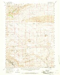
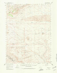
The Union Pacific railroad corridor anchors the southern reaches of this high-desert landscape, where the coal-mining communities of Superior and South Superior reside beneath the towering slopes of Zirkel Mesa. This mid-century survey reveals a territory transitioning from frontier transit to industrial extraction. Long-established ranching sites like Chilton Ranch and Johnson Ranch are scattered across a landscape defined by the Continental Divide and the expansive Sand Dunes to the north. Historical transportation patterns are preserved here through the tracing of the Point of Rocks-South Pass Stage Route and the Old Stage Station ruin, marking the path of earlier travelers through the arid basins and over Steamboat Mountain. Notable water sources, such as The Natural Corrals Spring and Black Rock Springs, indicate the vital points that allowed for human activity in this rain-shadow environment.
Find a feature on this map
43 named features on this map. Tap any name to fly to it.
Don’t see what you’re looking for? This feature index may not catch every label — zoom into the map to look around manually.
Map Details
Editions of this 1958 Superior Map
3 editions found
Other maps of this area

1908 · Rock Springs
USGS Topo · 1:62,500

1910 · Rock Springs
USGS Topo · 1:62,500

1954 · Rock Springs
USGS Topo · 1:250,000

1955 · Lander
USGS Topo · 1:250,000

1958 · Lander
USGS Topo · 1:250,000

1958 · Rock Springs
USGS Topo · 1:250,000

1958 · Essex Mountain
USGS Topo · 1:62,500

1958 · Boars Tusk
USGS Topo · 1:62,500

1958 · Twelvemile Well
USGS Topo · 1:62,500

1958 · Freighter Gap
USGS Topo · 1:62,500