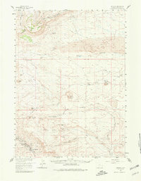
1958 Map of Superior
USGS Topo · Published 1980About this map
The coal-mining town of Superior and its neighbor South Superior anchor the southwestern corner of this landscape, situated at the edge of the high desert plains. This mid-century survey illustrates a region defined by the Continental Divide and the remnants of western migration, featuring the Old Stage Station (Ruin) near Black Rock Springs. The presence of several Mine symbols near the settlements reflects the industrial character of the area, while the surrounding terrain is a complex arrangement of mesas and waterless washes such as Deadman Wash and Potash Wash.
Find a feature on this map
44 named features on this map. Tap any name to fly to it.
Don’t see what you’re looking for? This feature index may not catch every label — zoom into the map to look around manually.
Map Details
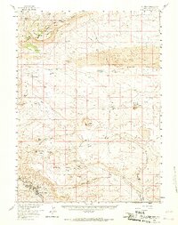
Editions of this 1958 Superior Map
3 editions found

Other maps of this area

1908 · Rock Springs
USGS Topo · 1:62,500

1910 · Rock Springs
USGS Topo · 1:62,500

1954 · Rock Springs
USGS Topo · 1:250,000

1955 · Lander
USGS Topo · 1:250,000

1958 · Lander
USGS Topo · 1:250,000

1958 · Rock Springs
USGS Topo · 1:250,000

1958 · Essex Mountain
USGS Topo · 1:62,500

1958 · Boars Tusk
USGS Topo · 1:62,500

1958 · Twelvemile Well
USGS Topo · 1:62,500

1958 · Freighter Gap
USGS Topo · 1:62,500