
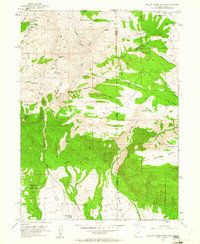
1952 Map of Willow Creek Butte
USGS Topo · Published 1953About this map
Willow Creek Butte and the surrounding high-altitude desert terrain define this transition zone where Utah, Colorado, and Wyoming converge. In the early 1950s, this landscape was primarily a network of springs and drainage draws, with O-Wi-Yu-Kuts Mountain and Kleins Hill serving as significant topographic landmarks. The presence of several Prospect sites and a Jeep Trail suggests ongoing exploration and land use in an area defined by its seasonal water sources like Honeymoon Spring and Whisky Springs.
Find a feature on this map
38 named features on this map. Tap any name to fly to it.
Don’t see what you’re looking for? This feature index may not catch every label — zoom into the map to look around manually.
Map Details
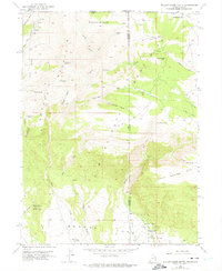
Editions of this 1952 Willow Creek Butte Map
3 editions found
Other maps of this area

1885 · Ashley
USGS Topo · 1:250,000

1952 · Warren Draw
USGS Topo · 1:24,000

1952 · Swallow Canyon
USGS Topo · 1:24,000

1952 · Clay Basin
USGS Topo · 1:24,000

1954 · Lodore School
USGS Topo · 1:24,000

1954 · Vernal
USGS Topo · 1:250,000

1954 · Rock Springs
USGS Topo · 1:250,000

1958 · Vernal
USGS Topo · 1:250,000

1958 · Rock Springs
USGS Topo · 1:250,000

1960 · Vernal
USGS Topo · 1:250,000