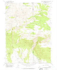
1952 Map of Willow Creek Butte
USGS Topo · Published 1975About this map
The O-Wi-Yu-Kuts Mountains dominate this high-desert intersection of three states, where the borders of Utah, Wyoming, and Colorado converge. During the early 1950s, this landscape was characterized by an intricate network of seasonal drainages and springs essential for high-country survival, including Slippery Jim Spr and Honeymoon Spring. The presence of the Willow Creek Ranch and various sheep and cattle related infrastructure like the Irrigation Ditch underscores the pastoral economy of the era.
Find a feature on this map
46 named features on this map. Tap any name to fly to it.
Don’t see what you’re looking for? This feature index may not catch every label — zoom into the map to look around manually.
Map Details
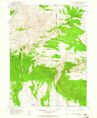
Editions of this 1952 Willow Creek Butte Map
3 editions found
Other maps of this area

1885 · Ashley
USGS Topo · 1:250,000

1952 · Warren Draw
USGS Topo · 1:24,000

1952 · Willow Creek Butte
USGS Topo · 1:24,000

1952 · Swallow Canyon
USGS Topo · 1:24,000

1952 · Clay Basin
USGS Topo · 1:24,000

1954 · Lodore School
USGS Topo · 1:24,000

1954 · Vernal
USGS Topo · 1:250,000

1954 · Rock Springs
USGS Topo · 1:250,000

1958 · Vernal
USGS Topo · 1:250,000

1958 · Rock Springs
USGS Topo · 1:250,000