
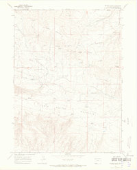
1952 Map of Swallow Canyon
USGS Topo · Published 1953About this map
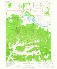
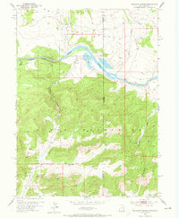
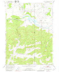
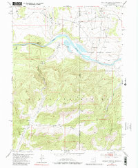
The Green River carves a dramatic path through the northern reaches of the Uinta Mountains in this early 1950s survey of the Utah-Colorado border. This rugged borderland is defined by the transition from the open valley of Browns Park into the narrow confines of Swallow Canyon. The map details a landscape of significant relief, where numerous drainage features like Crouse Canyon, Pitt Draw, and Chokecherry Draw descend toward the river. Local nomenclature is well-preserved, showing landmarks such as Marshall and the intersecting Salt Lake Base Line. The presence of several Spring and Springs labels suggests the critical importance of water sources in this high-altitude terrain, while the jurisdictional boundary between Daggett and Moffat counties splits the topography between two states.
Find a feature on this map
21 named features on this map. Tap any name to fly to it.
Don’t see what you’re looking for? This feature index may not catch every label — zoom into the map to look around manually.
Map Details
Editions of this 1952 Swallow Canyon Map
5 editions found
Other maps of this area

1885 · Ashley
USGS Topo · 1:250,000

1952 · Warren Draw
USGS Topo · 1:24,000

1952 · Willow Creek Butte
USGS Topo · 1:24,000

1952 · Clay Basin
USGS Topo · 1:24,000

1954 · Lodore School
USGS Topo · 1:24,000

1954 · Canyon of Lodore North
USGS Topo · 1:24,000

1954 · Vernal
USGS Topo · 1:250,000

1958 · Vernal
USGS Topo · 1:250,000

1960 · Vernal
USGS Topo · 1:250,000
1966 · Beaver Basin
USGS Topo · 1:24,000