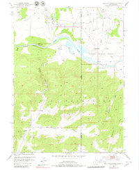
1952 Map of Swallow Canyon
USGS Topo · Published 1980About this map
The Green River carves a deep path through the northern reach of the Uinta Mountains on this mid-century survey, crossing the high-desert border between Daggett County, Utah, and Moffat County, Colorado. The landscape is defined by the broad basin of Browns Park, which serves as a natural haven for wildlife and early Western migration routes. At the heart of the sheet, the Browns Park National Wildlife Refuge borders the river as it winds through Swallow Canyon.
Find a feature on this map
21 named features on this map. Tap any name to fly to it.
Don’t see what you’re looking for? This feature index may not catch every label — zoom into the map to look around manually.
Map Details
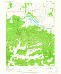
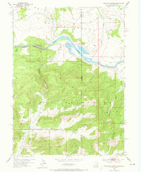
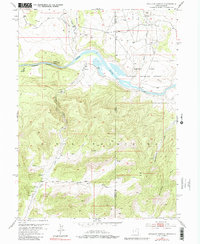
Editions of this 1952 Swallow Canyon Map
5 editions found
Other maps of this area

1885 · Ashley
USGS Topo · 1:250,000

1952 · Warren Draw
USGS Topo · 1:24,000

1952 · Willow Creek Butte
USGS Topo · 1:24,000

1952 · Swallow Canyon
USGS Topo · 1:24,000

1952 · Clay Basin
USGS Topo · 1:24,000

1954 · Lodore School
USGS Topo · 1:24,000

1954 · Canyon of Lodore North
USGS Topo · 1:24,000

1954 · Vernal
USGS Topo · 1:250,000

1958 · Vernal
USGS Topo · 1:250,000

1960 · Vernal
USGS Topo · 1:250,000