Old Maps of Kelly, Wyoming for Hiking & Exploration
Hike through history with 12 historic maps of Kelly. Explore old trails, ghost towns, and forgotten backroads — perfect for outdoor adventurers and local explorers.
- Rediscover forgotten places: Map out old mining camps, roads, and footpaths that no longer exist on modern maps.
- Layer with modern tools: Combine with LiDAR or satellite views to plan hikes through historical terrain.
- Made for exploration: Popular among hikers, overlanders, and local history lovers.
Use these maps to find adventure and explore the hidden past of Kelly.
Kelly, WY maps
(12)- 1899 Map of Grand Teton, 1954 Print
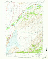
 1899 Grand Teton1954 Print · USGSThe Teton Range and the Snake River valley appear here at the turn of the century, just as early settlers and ranchers were establishing roots in the basin. Researchers can trace historic homesteads like the Cunningham Ranch and Grovont, or locate early structures such as Teton Lodge.
 - 1901 Map of Grand Teton, 1909 Print
 1901 Grand Teton1909 Print · USGSThe Teton valley was a land of homesteads and river crossings at the turn of the century. Genealogists can trace early settler families at Grovont and numerous holdings like Cunningham Ranch or locate the historic Menor Ferry crossing.4 unique versions available
 - 1955 Map of Driggs, 1967 Print
 1955 Driggs1967 Print · USGSEastern Idaho and Western Wyoming appear at a mid-century crossroads as the river valleys were fully settled and the high peaks protected. Genealogists and researchers can trace the rail towns of Rexburg and Driggs or follow the Snake River from Irwin to the Palisades Reservoir.3 unique versions available
 - 1958 Map of Driggs
 1958 Driggs1958 Print · USGSThe high Teton peaks and Snake River valleys are captured here in the mid-fifties, showing the region's agricultural and wilderness boundaries. Researchers can trace the Union Pacific rail corridor through Rexburg or locate early settlements like Clementsville and Tetonia.2 unique versions available
 - 1962 Map of Driggs
 1962 Driggs1962 Print · USGSThe Idaho-Wyoming borderlands are captured here in the early sixties, showing the peaks and valleys of the northern Rockies. Genealogists and historians can trace rail lines like the Union Pacific RR and isolated outposts like the National Elk Refuge or the Fort Hall Indian Reservation.
 - 1968 Map of Gros Ventre Junction, 1973 Print
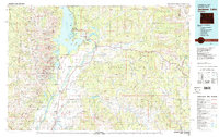
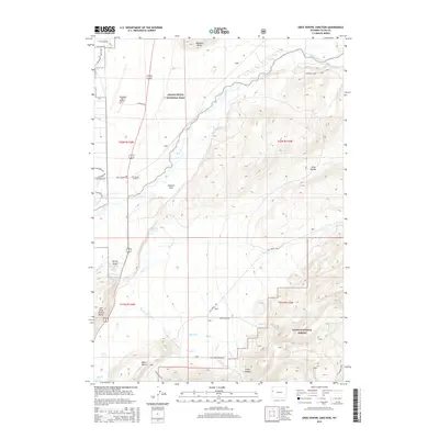
 1968 Gros Ventre Junction1973 Print · USGSTeton County's valley floor and mountain foothills are captured here in the late sixties as conservation and aviation expanded. Trace the footprints of early holdings like Warm Springs Ranch or locate the Jackson Hole Airport and Kelly.
 - 1981 Map of Jackson Lake
 1981 Jackson Lake1981 Print · USGSGrand Teton National Park and its surrounding wilderness are captured here in the early eighties. Researchers can trace high-altitude peaks like Mount Moran down to valley landmarks such as Jackson Lake Lodge, Colter Bay Village, and the Jackson Hole Airport.2 unique versions available
 - 1996 Map of Gros Ventre Junction, 1998 Print
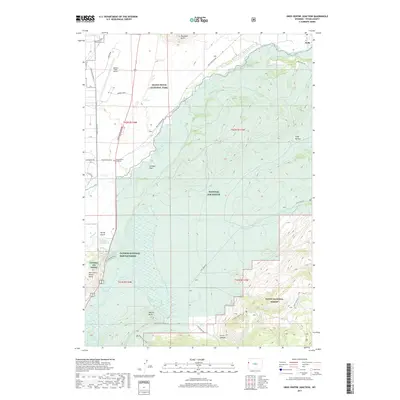
 1996 Gros Ventre Junction1998 Print · USGSTeton County during the mid-nineties shows the unique intersection of conservation land, ranching history, and modern aviation. Trace the boundaries of the National Elk Refuge alongside landmarks like Blacktail Butte and the Jackson National Fish Hatchery.
 - 2012 Map of Gros Ventre Junction, 2012 Print
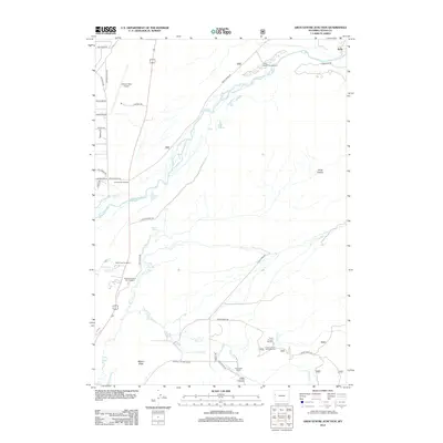 2012 Gros Ventre Junction2012 Print · USGSCovers Kelly, including Teton County, United States, and other nearby areas
 - 2015 Map of Gros Ventre Junction, 2015 Print
 2015 Gros Ventre Junction2015 Print · USGSCovers Kelly, including Teton County, United States, and other nearby areas
 - 2017 Map of Gros Ventre Junction, 2017 Print
 2017 Gros Ventre Junction2017 Print · USGSCovers Kelly, including Teton County, United States, and other nearby areas
 - 2021 Map of Gros Ventre Junction, 2021 Print
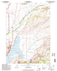
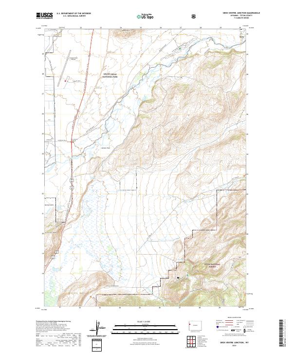 2021 Gros Ventre Junction2021 Print · USGSJackson Hole and the Gros Ventre River valley are captured in this recent survey, showcasing a landscape dedicated to wildlife conservation and recreation. Researchers can trace the layout of the National Elk Refuge, locate Abercrombie Warm Springs, and see the development around Gros Ventre Junction.
End of results
Showing maps 1-12 of 12
Top cities near Kelly
Frequently asked questions
- What are the different types of historical maps available for Kelly?
- What is the oldest map of Kelly?
- Where can I purchase historical maps of Kelly for my home or office?
- Where can I download high-res historical maps of Kelly?
- Are there historical topographic maps available for Kelly?
- Is there historical aerial imagery available for Kelly?
- Where are historical maps of Kelly sourced from?