Old Maps of Urie, Wyoming for Hiking & Exploration
Hike through history with 9 historic maps of Urie. Explore old trails, ghost towns, and forgotten backroads — perfect for outdoor adventurers and local explorers.
- Rediscover forgotten places: Map out old mining camps, roads, and footpaths that no longer exist on modern maps.
- Layer with modern tools: Combine with LiDAR or satellite views to plan hikes through historical terrain.
- Made for exploration: Popular among hikers, overlanders, and local history lovers.
Use these maps to find adventure and explore the hidden past of Urie.
Urie, WY maps
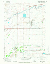
(9)- 1954 Map of Ogden, 1967 Print
 1954 Ogden1967 Print · USGSThe northern Utah corridor and Wyoming borderlands are captured here in the mid-1950s, showing the region's transition from mountain wilderness to settled valleys. Researchers can trace historic institutions like Utah State University or locate vanished points like Church Butte Station and the Trappist Monastery.3 unique versions available
 - 1958 Map of Ogden
 1958 Ogden1958 Print · USGSNorthern Utah and southwestern Wyoming are captured here during a period of steady growth and military expansion. You can trace the Union Pacific rail lines and early road networks connecting Ogden and Logan to Bear Lake and Evanston.
 - 1960 Map of Ogden
 1960 Ogden1960 Print · USGSIn the mid-1950s, this region of the American West balanced military expansion with frontier history along the Union Pacific RR. Genealogists and historians can trace old settlements like Fort Bridger, the residential growth of Washington Terrace, and industrial sites from the Hill AFB complex to the coal mines of Kemmerer.
 - 1964 Map of Mountain View, 1968 Print
 1964 Mountain View1968 Print · USGSThe Bridger Valley in the mid-sixties shows a landscape of steady growth and deep-rooted irrigation. Researchers can trace the legacy of the Fort Bridger Trail alongside modern developments like Rollins Reservoir and the Fairground at Lyman.2 unique versions available
 - 1980 Map of Evanston, 1992 Print
 1980 Evanston1992 Print · USGSSouthwestern Wyoming at the start of the eighties shows a landscape of mountain forests and high-plateau ranching towns. Trace the Union Pacific line through Evanston or explore the historic vicinity of Fort Bridger and Piedmont.
 - 2012 Map of Mountain View, 2012 Print
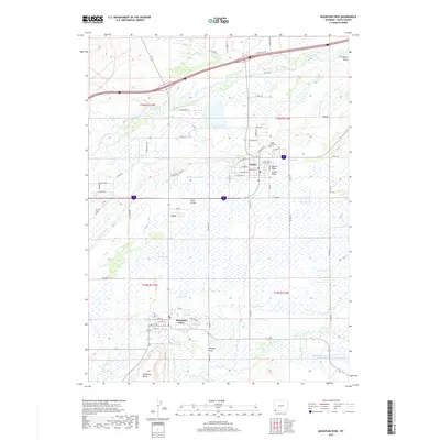
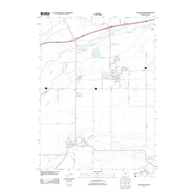 2012 Mountain View2012 Print · USGSCovers Urie, including Lyman, Mountain View, and other nearby areas
 - 2015 Map of Mountain View, 2015 Print
 2015 Mountain View2015 Print · USGSCovers Urie, including Lyman, Mountain View, and other nearby areas
 - 2017 Map of Mountain View, 2017 Print
 2017 Mountain View2017 Print · USGSCovers Urie, including Lyman, Mountain View, and other nearby areas
 - 2021 Map of Mountain View, 2021 Print
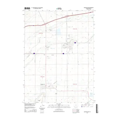
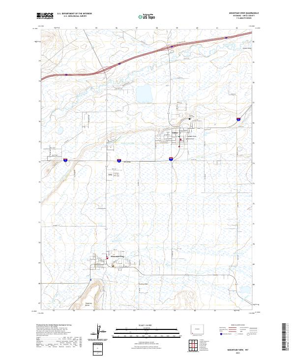 2021 Mountain View2021 Print · USGSThe Bridger Valley comes into focus in this contemporary record of Uinta County ranching country. Researchers can trace the layout of Lyman, Mountain View, and Urie alongside vital irrigation works like the Blacks Fork Canal and the historic Emigrant Rd.
End of results
Showing maps 1-9 of 9
Top cities near Urie
Frequently asked questions
- What are the different types of historical maps available for Urie?
- What is the oldest map of Urie?
- Where can I purchase historical maps of Urie for my home or office?
- Where can I download high-res historical maps of Urie?
- Are there historical topographic maps available for Urie?
- Is there historical aerial imagery available for Urie?
- Where are historical maps of Urie sourced from?