Old Maps of Skull Creek, Wyoming for Genealogy
Trace your family roots with 13 historic maps of Skull Creek. These high-res maps reveal old neighborhoods, homesites, landmarks, and streets — helping you uncover where your ancestors lived and how the area evolved over time.
- Explore historic neighborhoods: Identify where your relatives may have lived in the 1800s or 1900s.
- Compare maps over time: Trace the changes in streets, buildings, and landmarks for multi-generational research.
- Perfect for genealogy & ancestry research: Used by family historians and researchers to map out lineage and migration.
These maps are an incredible resource for exploring your personal connection to Skull Creek's past.
Skull Creek, WY maps
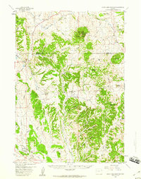
(13)- 1898 Map of Sundance
 1898 Sundance1898 Print · USGSNorthwestern Wyoming and the Black Hills border come alive in the 1890s, when Sundance served as a key regional hub. Genealogists and local historians can trace early wagon routes connecting settlements like Manhattan, Welcome, and Inyankara.
 - 1902 Map of Sundance
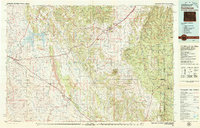
 1902 Sundance1902 Print · USGSThe Wyoming and South Dakota borderlands come into focus at the turn of the century as ranching and early mining outposts take hold. Genealogists and historians can trace family-named sites like Mc Creadys Ranch and early settlements including Manhattan and Buckhorn.4 unique versions available
 - 1954 Map of Gillette, 1975 Print
 1954 Gillette1975 Print · USGSGillette and the northeast Wyoming ranching country are captured here in the mid-1950s as coal and bentonite mining shaped the local economy. Genealogists can trace family landmarks like the Bethlehem Church, Wellman School, and early settlements along the Chicago Burlington and Quincy RR.
 - 1955 Map of Gillette, 1976 Print
 1955 Gillette1976 Print · USGSNortheastern Wyoming in the mid-twentieth century is captured here as the energy and ranching landscape began to shift. Genealogists and historians can trace the foundations of local communities through sites like Wyodak, the Pleasantdale Community Building, and landmarks like Devils Tower National Monument.
 - 1958 Map of Gillette
 1958 Gillette1958 Print · USGSNortheastern Wyoming and the Black Hills are captured here in the late fifties, showcasing a landscape of high-plains ranching and emerging energy production. Researchers can trace the rail-side growth of Gillette and find historic rural landmarks like the Wyodak Coal Mine, Bethlehem Church, and Devils Tower National Monument.2 unique versions available
 - 1958 Map of Inyan Kara Mountain, 1960 Print
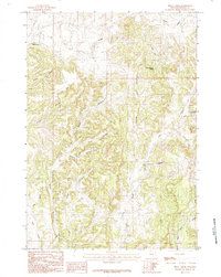
 1958 Inyan Kara Mountain1960 Print · USGSThe Black Hills of Wyoming in the late fifties show a landscape of high timbered ridges and early industrial development. Genealogists and historians can locate rural landmarks like Davis Sch and the unique Historical Graves (Two of Custers Men).3 unique versions available
 - 1962 Map of Gillette
 1962 Gillette1962 Print · USGSHigh plains ranching and coal mining dominate the Powder River Basin in the early sixties. Genealogists can trace rural communities through landmarks like the Bethlehem Church, Lake School, and settlements such as Moorcroft and Sundance.
 - 1979 Map of Sundance
 1979 Sundance1979 Print · USGSThe Black Hills borderlands in the late 1970s show a region of high peaks and vital rail corridors connecting Wyoming to South Dakota. Researchers can trace historic routes and industry through settlements like Clay Spur, Upton, and the Historical Monument.2 unique versions available
 - 1984 Map of Skull Creek
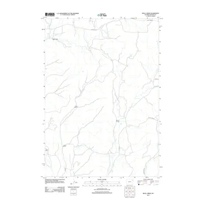
 1984 Skull Creek1984 Print · USGSWeston County ranching and energy lands are captured here in the mid-1980s, showcasing a landscape defined by deep drainages and oil exploration. Researchers can locate remote landmarks like Grand Stump Spring and trace the paths of Watermelon Canyon and Skull Creek.
 - 2012 Map of Skull Creek, 2012 Print
 2012 Skull Creek2012 Print · USGSCovers Skull Creek, including Weston County, United States, and other nearby areas
 - 2015 Map of Skull Creek, 2015 Print
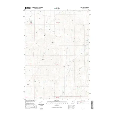 2015 Skull Creek2015 Print · USGSCovers Skull Creek, including Weston County, United States, and other nearby areas
 - 2017 Map of Skull Creek, 2017 Print
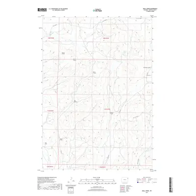 2017 Skull Creek2017 Print · USGSCovers Skull Creek, including Weston County, United States, and other nearby areas
 - 2021 Map of Skull Creek, 2021 Print
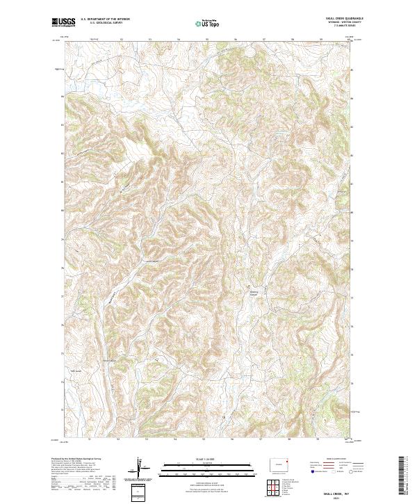 2021 Skull Creek2021 Print · USGSEastern Wyoming ranchlands and high canyon country are documented here in 2021. You can trace the rugged drainages of Skull Creek Canyon and locate isolated landmarks like Grand Stump Spring and Pine Gulch.
End of results
Showing maps 1-13 of 13
Frequently asked questions
- What are the different types of historical maps available for Skull Creek?
- What is the oldest map of Skull Creek?
- Where can I purchase historical maps of Skull Creek for my home or office?
- Where can I download high-res historical maps of Skull Creek?
- Are there historical topographic maps available for Skull Creek?
- Is there historical aerial imagery available for Skull Creek?
- Where are historical maps of Skull Creek sourced from?