Loading...
Loading map...2022 Map of Abbotsford
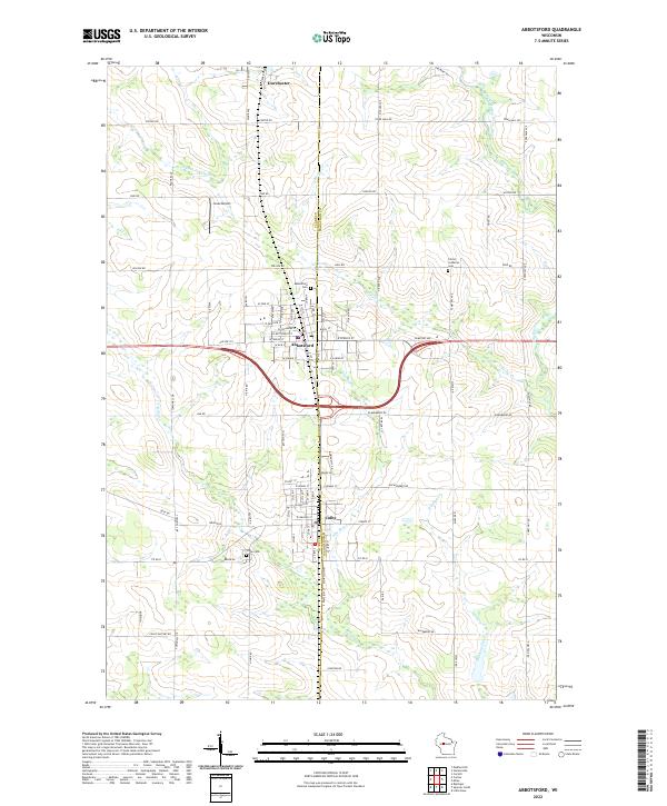
USGS Topo · Published 2022About this map
The Clark County and Marathon County line bisects this region of Wisconsin, anchoring a landscape where small-town industry meets a network of tributary creeks. Abbotsford serves as a central hub, flanked by the neighboring settlements of Colby to the south and Dorchester to the north. This modern survey illustrates the enduring importance of the transportation corridor along Old Hwy 29, which bypasses the older downtown grids.
Find a feature on this map
65 named features on this map. Tap any name to fly to it.
Don’t see what you’re looking for? This feature index may not catch every label — zoom into the map to look around manually.
Map Details
Date Portrayed2022
Date Published2022
PublisherU.S. Geological Survey
Map TypeTopographic
Scale1:24000
Physical Dimensions24 x 29 inches
Editions of this 2022 Abbotsford Map
This is the sole edition of this map. No revisions or reprints were ever made.
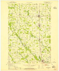
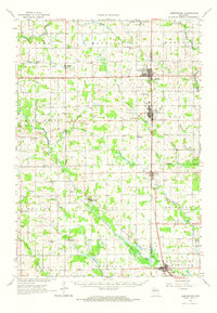
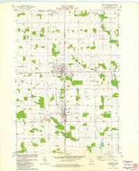
Historical Maps of Abbotsford Through Time
4 maps found
Featured Locations
Source Details
SourceU.S. Geological Survey
CopyrightPublic Domain