Old Maps of Hull, Wisconsin
Explore 33 old maps of Hull, spanning from 1902 to today. These high-resolution historic maps reveal how streets, neighborhoods, landmarks, and natural features evolved over time — perfect for genealogy, metal detecting, research, and local history exploration.
What you can do with these maps:
- See how Hull changed over time: Compare historical maps to modern-day views to trace roads, homesites, rail lines & more.
- View detailed metadata: Each map includes creators, publishers, year, scale, and archive source.
- Overlay maps with satellite & LiDAR: Visualize the past alongside modern tools to explore terrain & human change.
- Trusted historical sources: Maps sourced from the USGS, Library of Congress, and other archives.
- Access maps your way: View online, download high-res files, or order prints for personal or research use.
Start exploring old maps of Hull to uncover forgotten places, hidden landmarks, and the deep history beneath your feet.
Hull, WI maps
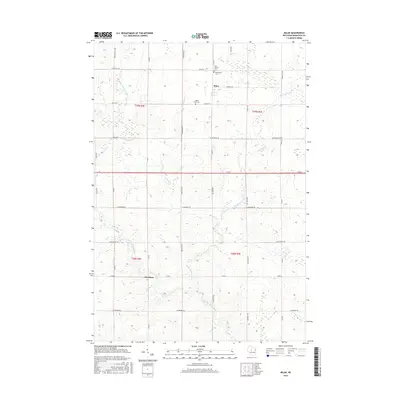
(33)- 1902 Map of Marathon, 1938 Print
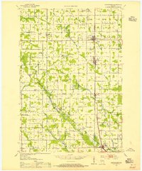
 1902 Marathon1938 Print · USGSMarathon County is captured here at the height of the timber era, when a dense network of logging railroads and new settlements defined the central Wisconsin woods. Genealogists and historians can trace early town sites like Athens, Rib Falls, and the specialized Connors Logging R. R.
 - 1953 Map of Abbotsford, 1955 Print
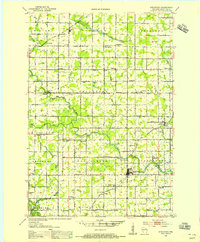
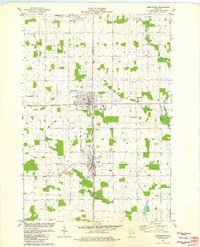
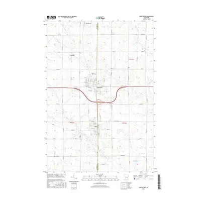
 1953 Abbotsford1955 Print · USGSCentral Wisconsin dairy country in the early fifties reveals a landscape tightly organized around the rail line and township sections. Genealogists can trace family roots through numerous local landmarks like Riplinger, St Johannis Ch, and Pickard Sch.
 - 1953 Map of Stratford, 1955 Print
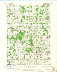
 1953 Stratford1955 Print · USGSMarathon County in the early fifties is captured here as a landscape of small dairy farms and rail-connected villages. Genealogists and historians can trace numerous rural landmarks, from Milan and Stratford to family-named schools like Hillcrest Sch and Wescott Sch.
 - 1953 Map of Eau Claire, 1965 Print
 1953 Eau Claire1965 Print · USGSWest-central Wisconsin in the mid-fifties shows a landscape of river-valley industry and vast wildlife refuges during the transition from rails to modern highways. Genealogists and historians can trace the rail corridors of the Chicago and North Western or locate family-named landmarks like Decorah Mound and Chippewa Island.4 unique versions available
 - 1958 Map of Eau Claire
 1958 Eau Claire1958 Print · USGSWestern Wisconsin in the late fifties shows a landscape of growing regional hubs and massive wildlife refuges. Trace the rail lines of the Chicago and North Western between Eau Claire and Marshfield, or explore the terrain around Iron Mound and Lake Wissota.
 - 1963 Map of Stratford, 1964 Print
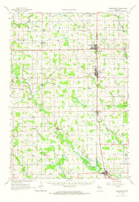
 1963 Stratford1964 Print · USGSMarathon County's rural heartland is captured here in the early sixties, showing the vital intersection of rail and river commerce. Genealogists and historians can trace family locations near Stratford, March Rapids, and several country schools like Strupp Sch.
 - 1963 Map of Abbotsford, 1964 Print
 1963 Abbotsford1964 Print · USGSWisconsin's dairy heartland is mapped here in the early sixties, showing the vital junctions of the central townships. Local historians can trace family land across Unity, Beaver, and Sherman, locating landmarks like Beaver Center Sch and St Johns Cem.
 - 1964 Map of Eau Claire
 1964 Eau Claire1964 Print · USGSWest-central Wisconsin in the mid-1960s was a hub of river-driven industry and expanding rail networks. Researchers can trace historic homesteads near Menomonie, follow the Soo Line RR through Marshfield, or explore the grounds of the Camp McCoy Military Reservation.
 - 1981 Map of Abbotsford, 1982 Print
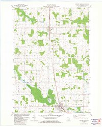
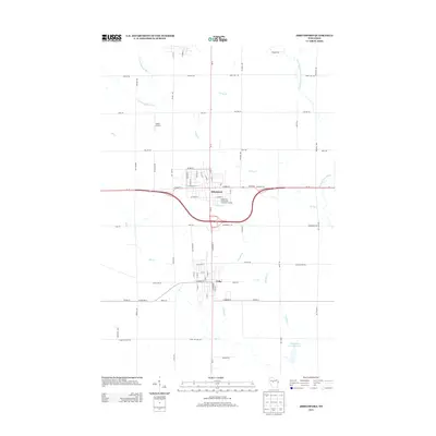
 1981 Abbotsford1982 Print · USGSAbbotsford and Colby straddle the county line in the early eighties, serving as a hub for the surrounding central Wisconsin dairy lands. Researchers can locate the Colby Cemetery, the Colby-Abbotsford Airport, and the former Drive-in Theater along the Soo Line corridor.
 - 1981 Map of Little Rose, 1982 Print
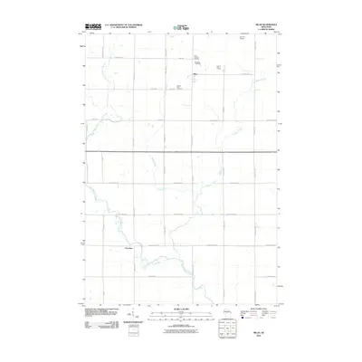
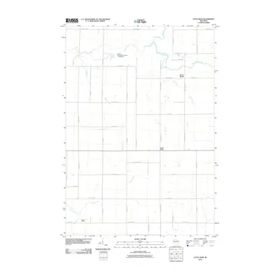
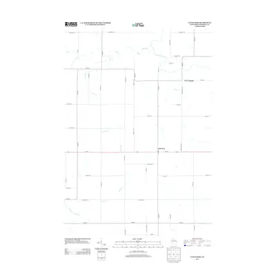
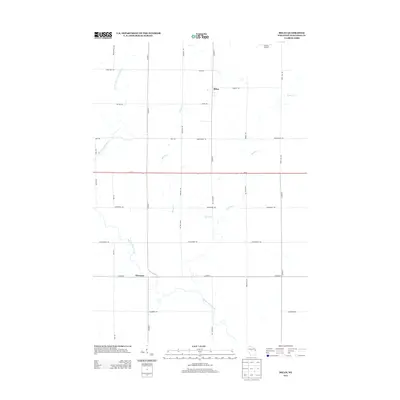
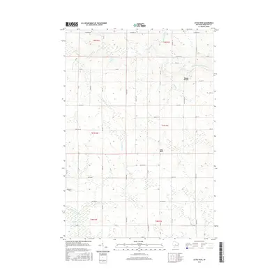
 1981 Little Rose1982 Print · USGSMarathon County in the early eighties reveals a landscape of rural townships and river-fed marshes. Researchers can locate family landmarks like Emanuel Ch, the Eau Pleine Cem, and the old Chicago and North Western rail line.
 - 1981 Map of Milan, 1982 Print
 1981 Milan1982 Print · USGSMarathon County farmland and river valleys are captured here in the early eighties. Genealogists and local historians can trace family plots at Township Cem and Peace Ch Cem, or locate the rural hubs of Milan and Cherokee.
 - 1981 Map of Spencer North, 1983 Print
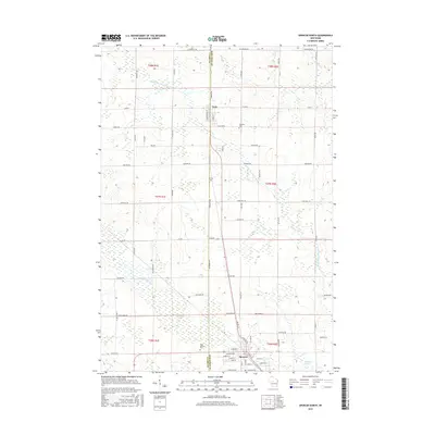
 1981 Spencer North1983 Print · USGSSettlements like Unity and Spencer follow the rail corridor along the county line during the early 1980s. Genealogists can locate family landmarks such as St Johns Ch, Trinity Cem, and the expansive Spencer Marsh wetlands.
 - 1984 Map of Marshfield, 1985 Print
 1984 Marshfield1985 Print · USGSCentral Wisconsin's dairy heartland comes into focus during the mid-eighties as a busy network of rail and farm towns. Researchers can trace the path of the Soo Line, identify the grounds of McMillan State Wildlife Area, and locate smaller settlements like Spokeville and Tioga.2 unique versions available
 - 2010 Map of Abbotsford, 2010 Print
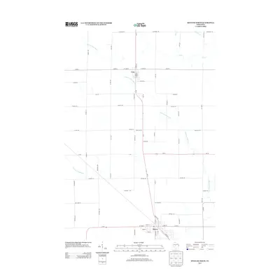
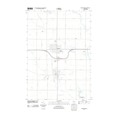 2010 Abbotsford2010 Print · USGSCovers Hull, including Abbotsford, Colby, and other nearby areas
 - 2010 Map of Spencer North, 2010 Print
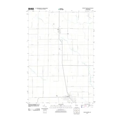 2010 Spencer North2010 Print · USGSCovers Hull, including Spencer, Unity, and other nearby areas
 - 2010 Map of Milan, 2010 Print
 2010 Milan2010 Print · USGSCovers Hull, including Frankfort, Milan, and other nearby areas
 - 2010 Map of Little Rose, 2010 Print
 2010 Little Rose2010 Print · USGSCovers Hull, including McMillan, Frankfort, and other nearby areas
 - 2013 Map of Little Rose, 2013 Print
 2013 Little Rose2013 Print · USGSCovers Hull, including McMillan, Frankfort, and other nearby areas
 - 2013 Map of Abbotsford, 2013 Print
 2013 Abbotsford2013 Print · USGSCovers Hull, including Abbotsford, Colby, and other nearby areas
 - 2013 Map of Milan, 2013 Print
 2013 Milan2013 Print · USGSCovers Hull, including Frankfort, Milan, and other nearby areas
 - 2013 Map of Spencer North, 2013 Print
 2013 Spencer North2013 Print · USGSCovers Hull, including Spencer, Unity, and other nearby areas
 - 2015 Map of Spencer North, 2015 Print
 2015 Spencer North2015 Print · USGSCovers Hull, including Spencer, Unity, and other nearby areas
 - 2015 Map of Little Rose, 2015 Print
 2015 Little Rose2015 Print · USGSCovers Hull, including McMillan, Frankfort, and other nearby areas
 - 2015 Map of Milan, 2015 Print
 2015 Milan2015 Print · USGSCovers Hull, including Frankfort, Milan, and other nearby areas
 - 2015 Map of Abbotsford, 2015 Print
 2015 Abbotsford2015 Print · USGSCovers Hull, including Abbotsford, Colby, and other nearby areas
Showing maps 1-25 of 33
Top cities near Hull
- Marshfield historical maps
- Medford historical maps
- McMillan historical maps
- Spencer historical maps
- Stratford historical maps
- Abbotsford historical maps
See more
Top neighborhoods of Hull
Frequently asked questions
- What are the different types of historical maps available for Hull?
- What is the oldest map of Hull?
- Where can I purchase historical maps of Hull for my home or office?
- Where can I download high-res historical maps of Hull?
- Are there historical topographic maps available for Hull?
- Is there historical aerial imagery available for Hull?
- Where are historical maps of Hull sourced from?