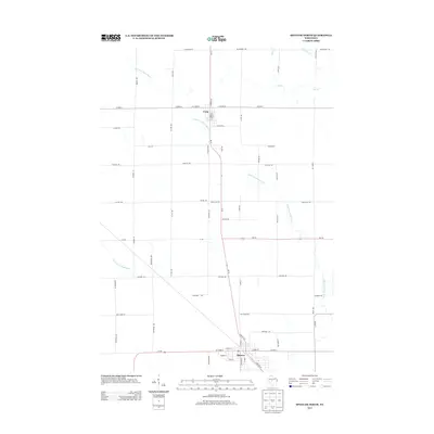
2013 Map of Spencer North
USGS Topo · Published 2013About this map
The community of Spencer and the village of Unity anchor this Central Wisconsin landscape, where the agricultural grid is defined by a dense network of county and state routes. The path of Wi-13 serves as the primary north-south spine, connecting these settlements through a series of named local roads like E Salter Rd and Durham Rd. Waterways move subtly across the terrain, with the Little Eau Pleine River meandering through the center, while the South Fork Popple River touches the southwestern corner. The mapping detail highlights the transition from town centers to rural sections, tracing established family-named landmarks and local streets such as N Front St and S Main St. This survey reflects a period of stable rural development, preserving the exact layout of residential blocks and the intersections that supported the region's dairy and farming economy.
Find a feature on this map
62 named features on this map. Tap any name to fly to it.
Don’t see what you’re looking for? This feature index may not catch every label — zoom into the map to look around manually.
Map Details
Editions of this 2013 Spencer North Map
This is the sole edition of this map. No revisions or reprints were ever made.
Other maps of this area

1902 · Marathon
USGS Topo · 1:125,000

1953 · Abbotsford
USGS Topo · 1:48,000

1953 · Stratford
USGS Topo · 1:48,000

1953 · Eau Claire
USGS Topo · 1:250,000

1954 · Granton
USGS Topo · 1:62,500

1954 · Marshfield
USGS Topo · 1:62,500

1958 · Eau Claire
USGS Topo · 1:250,000

1963 · Stratford
USGS Topo · 1:62,500

1963 · Abbotsford
USGS Topo · 1:62,500

1964 · Eau Claire
USGS Topo · 1:250,000