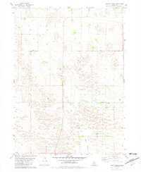
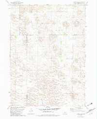
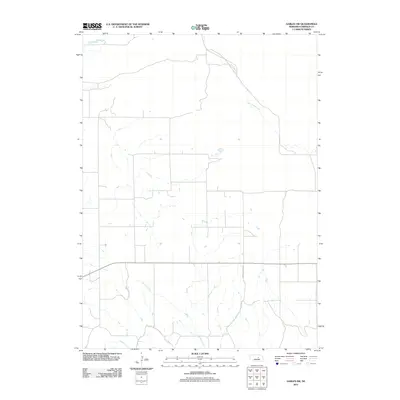
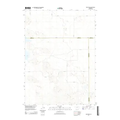
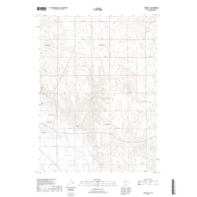
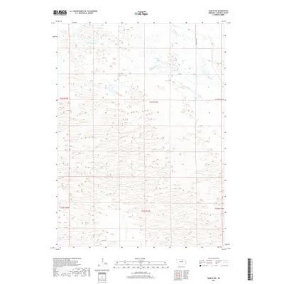
1981 Map of Abbott Ranch
USGS Topo · Published 1981About this map
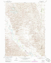
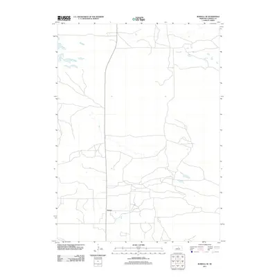
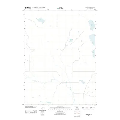
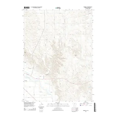
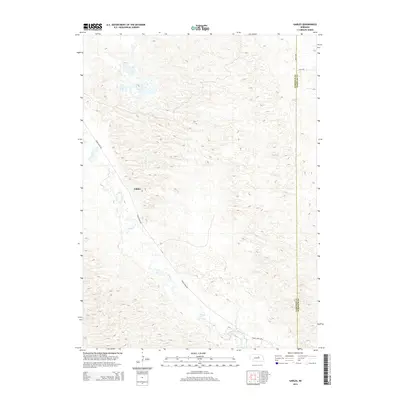
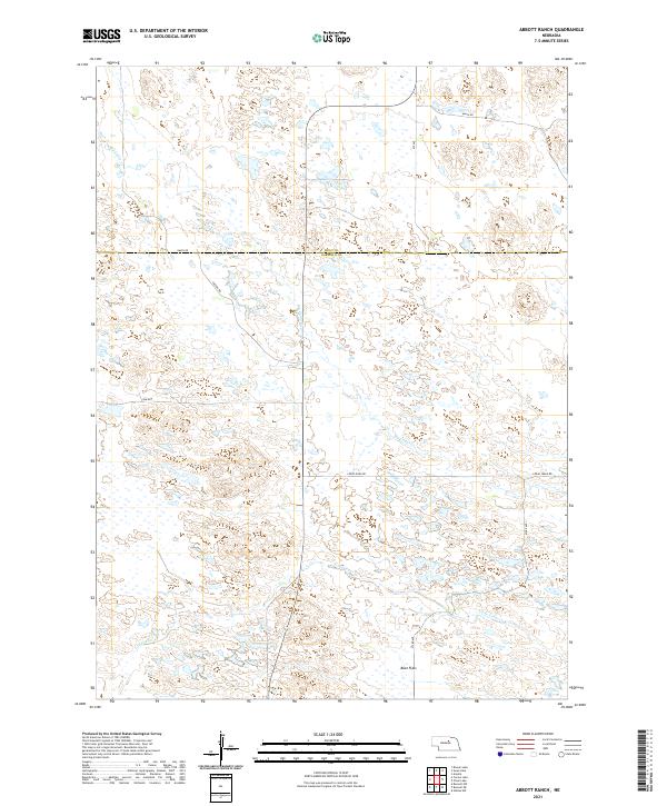
Abbott Ranch and a network of family-held homesteads anchor this section of the Nebraska Sandhills along the border of Holt and Garfield counties. The landscape is defined by the winding course of Big Cedar Creek and its tributary, Little Cedar Creek, which cut through the distinctive Beat Flats terrain. This 1981 edition, based on earlier field checks, reveals a ranching economy supported by numerous wells and several flowing wells scattered across the undulating prairie. Local community life is centered around the Cedar Creek Ch and rural education outposts like the Cedar Valley Sch and Swan Sch. The map provides a precise record of late-20th-century land use, including prominent properties such as Price Ranch, Lee Ranch, and the Huffman Ranch, connected by a sparse network of unimproved roads and section-line fences.
Find a feature on this map
17 named features on this map. Tap any name to fly to it.
Don’t see what you’re looking for? This feature index may not catch every label — zoom into the map to look around manually.
Map Details
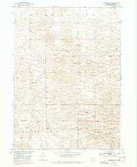
Editions of this 1981 Abbott Ranch Map
This is the sole edition of this map. No revisions or reprints were ever made.
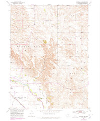
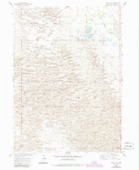
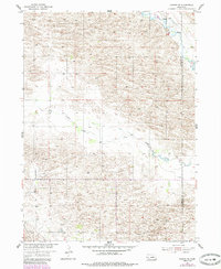
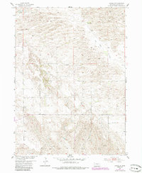
Historical Maps of Holt County Through Time
55 maps found
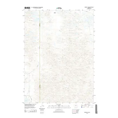
1952 Burwell NE
Garfield County, NE
1952 Burwell NW
Garfield County, NE
1952 Burwell SE
Garfield County, NE
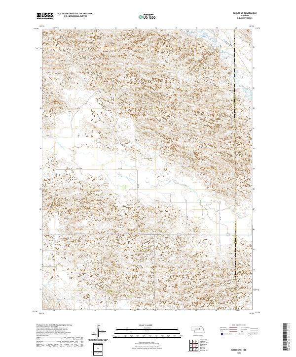
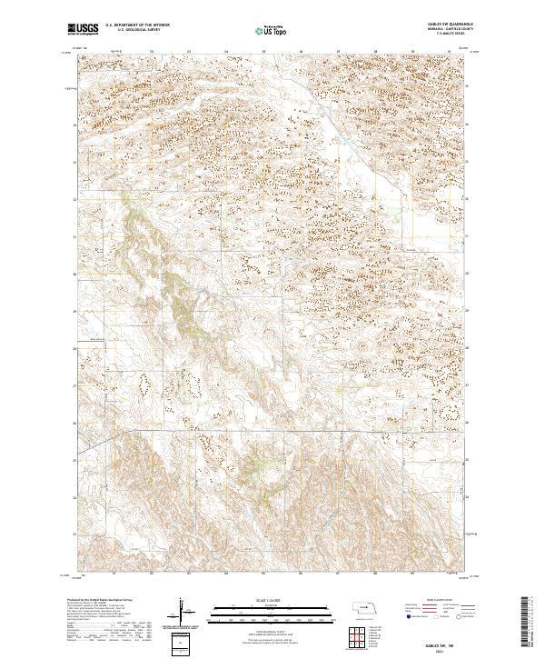
1954 Gables
Garfield County, NE
1954 Gables NW
Garfield County, NE
1954 Gables SE
Garfield County, NE
1954 Gables SW
Garfield County, NE
1981 Abbott Ranch
Garfield County, NE
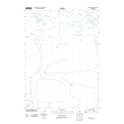
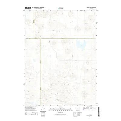
1981 Carson Lake
Garfield County, NE
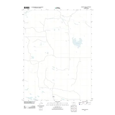
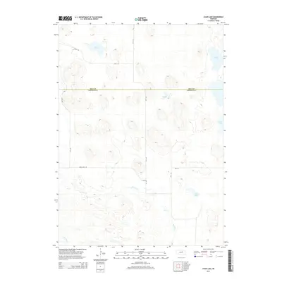
1981 Chain Lake
Garfield County, NE
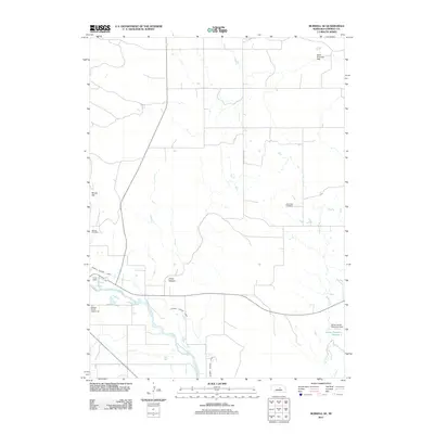
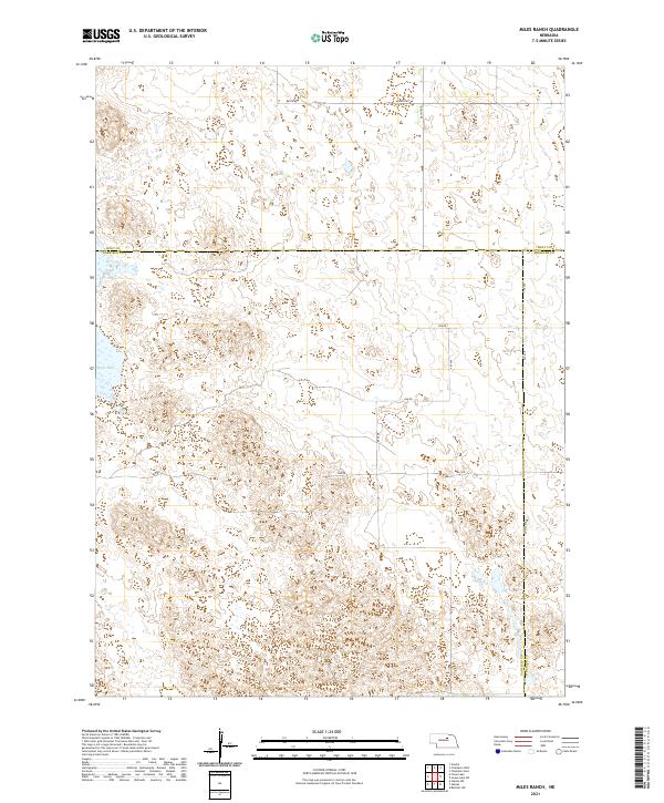
1981 Miles Ranch
Garfield County, NE
2011 Abbott Ranch
Garfield County, NE
2011 Burwell NE
Garfield County, NE
2011 Burwell NW
Garfield County, NE
2011 Burwell SE
Garfield County, NE
2011 Carson Lake
Garfield County, NE
2011 Chain Lake
Garfield County, NE
2011 Gables
Garfield County, NE
2011 Gables NW
Garfield County, NE
2011 Gables SE
Garfield County, NE
2011 Gables SW
Garfield County, NE
2011 Miles Ranch
Garfield County, NE
2014 Abbott Ranch
Garfield County, NE
2014 Burwell NE
Garfield County, NE
2014 Burwell NW
Garfield County, NE
2014 Burwell SE
Garfield County, NE
2014 Carson Lake
Garfield County, NE
2014 Chain Lake
Garfield County, NE
2014 Gables
Garfield County, NE
2014 Gables NW
Garfield County, NE
2014 Gables SE
Garfield County, NE
2014 Gables SW
Garfield County, NE
2014 Miles Ranch
Garfield County, NE
2017 Abbott Ranch
Garfield County, NE
2017 Burwell NE
Garfield County, NE
2017 Burwell NW
Garfield County, NE
2017 Burwell SE
Garfield County, NE
2017 Carson Lake
Garfield County, NE
2017 Chain Lake
Garfield County, NE
2017 Gables
Garfield County, NE
2017 Gables NW
Garfield County, NE
2017 Gables SE
Garfield County, NE
2017 Gables SW
Garfield County, NE
2017 Miles Ranch
Garfield County, NE
2021 Abbott Ranch
Garfield County, NE
2021 Burwell NE
Garfield County, NE
2021 Burwell NW
Garfield County, NE
2021 Burwell SE
Garfield County, NE
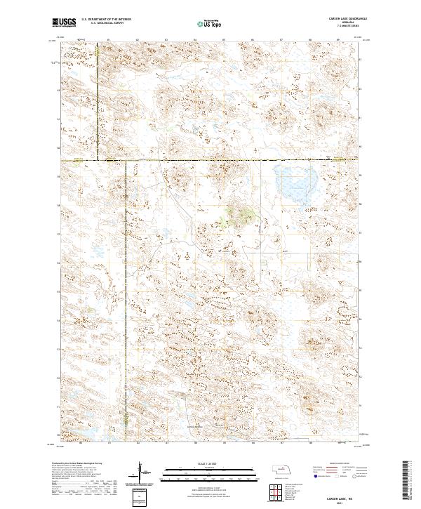
2021 Carson Lake
Garfield County, NE
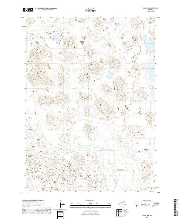
2021 Chain Lake
Garfield County, NE
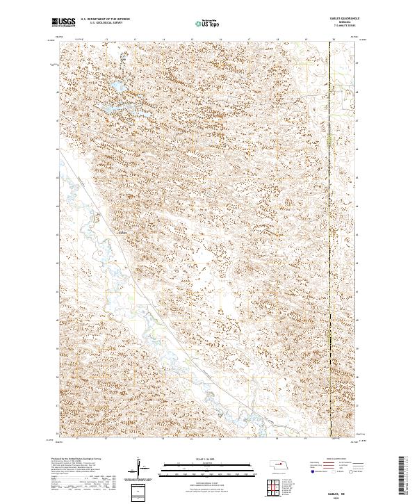
2021 Gables
Garfield County, NE
2021 Gables NW
Garfield County, NE
2021 Gables SE
Garfield County, NE
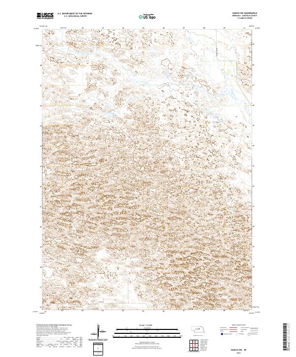
2021 Gables SW
Garfield County, NE
2021 Miles Ranch
Garfield County, NE