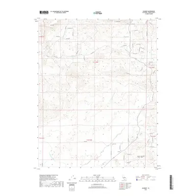
2018 Map of Academy
USGS Topo · Published 2018About this map
Academy serves as the focal point of this Central California landscape, situated where the foothills meet the Central San Joaquin Valley. The map details the historical footprint of this small settlement, featuring the local Academy school and the Academy Cem, which provide significant anchor points for genealogical research in Fresno County. To the north, the terrain rises toward the distinct plateaus of Table Mtn and Corlew Mtn, which define the northern skyline of the quadrangle.
Find a feature on this map
58 named features on this map. Tap any name to fly to it.
Don’t see what you’re looking for? This feature index may not catch every label — zoom into the map to look around manually.
Map Details
Editions of this 2018 Academy Map
This is the sole edition of this map. No revisions or reprints were ever made.
Other maps of this area

1904 · Kaiser
USGS Topo · 1:125,000

1912 · Mariposa
USGS Topo · 1:125,000

1916 · Sulphur Springs
USGS Topo · 1:24,000

1919 · Sulphur Springs
USGS Topo · 1:31,680

1920 · Orangedale School
USGS Topo · 1:24,000

1922 · Round Mountain
USGS Topo · 1:31,680

1922 · Trimmer
USGS Topo · 1:96,000

1922 · Friant
USGS Topo · 1:31,680

1923 · Academy
USGS Topo · 1:31,680

1923 · Orangedale School
USGS Topo · 1:31,680