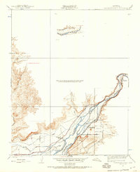
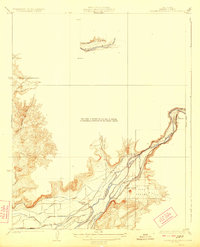
1920 Map of Orangedale School
USGS Topo · Published 1957About this map
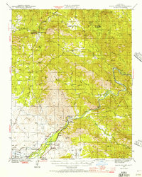
The Kings River dictates the landscape of this eastern Fresno County territory, where the transition from high terrain to the valley floor is managed by an intricate network of irrigation works. Water management is the primary industrial focus, evidenced by the presence of the Enterprise Canal, Gould Canal, and Fresno Canal, along with the Consolidated Flume. These systems were essential for supporting the small settlements and agricultural interests emerging in the early twentieth century.
Find a feature on this map
20 named features on this map. Tap any name to fly to it.
Don’t see what you’re looking for? This feature index may not catch every label — zoom into the map to look around manually.
Map Details
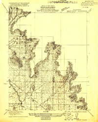
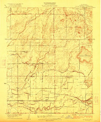
Editions of this 1920 Orangedale School Map
This is the sole edition of this map. No revisions or reprints were ever made.
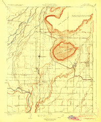
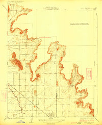
Other maps of this area
1921 · Squaw Valley
USGS Topo · 1:31,680
1922 · Round Mountain
USGS Topo · 1:31,680

1922 · Trimmer
USGS Topo · 1:96,000
1923 · Academy
USGS Topo · 1:31,680
1923 · Orangedale School
USGS Topo · 1:31,680
1923 · Wahtoke
USGS Topo · 1:31,680
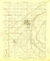
1923 · Sanger
USGS Topo · 1:31,680
1924 · Citrus Cove
USGS Topo · 1:31,680

1924 · Dinuba
USGS Topo · 1:125,000
1942 · Watts Valley
USGS Topo · 1:62,500