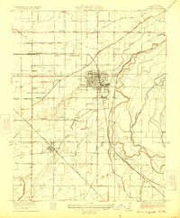
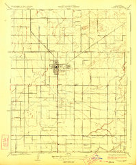
1923 Map of Sanger
USGS Topo · Published 1923About this map
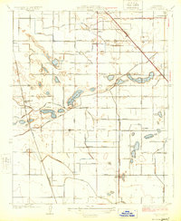
The Kings River snakes along the eastern edge of this agricultural landscape in the mid-1920s, feeding an intricate network of irrigation works including the Washington Ditch and the Fowler Switch Canal. This Central Valley terrain is defined by its rectilinear grid of avenues—Ventura Avenue, Jensen Avenue, and Clay Avenue—linking established hubs like Sanger and Del Rey. The industrial character of the era is evidenced by the Sanger Winery and the presence of the Southern Pacific and Atchison Topeka and Santa Fe railroads, which facilitated the movement of goods from these orchard and vineyard lands.
Find a feature on this map
36 named features on this map. Tap any name to fly to it.
Don’t see what you’re looking for? This feature index may not catch every label — zoom into the map to look around manually.
Map Details
Editions of this 1923 Sanger Map
This is the sole edition of this map. No revisions or reprints were ever made.
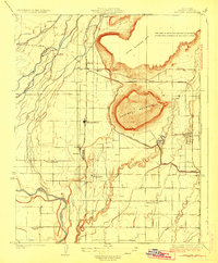
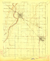
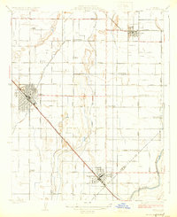
Other maps of this area
1920 · Orangedale School
USGS Topo · 1:24,000
1922 · Round Mountain
USGS Topo · 1:31,680

1922 · Trimmer
USGS Topo · 1:96,000

1923 · Malaga
USGS Topo · 1:31,680
1923 · Orangedale School
USGS Topo · 1:31,680
1923 · Clovis
USGS Topo · 1:31,680
1923 · Wahtoke
USGS Topo · 1:31,680
1924 · Reedley
USGS Topo · 1:31,680
1924 · Selma
USGS Topo · 1:31,680
1924 · Conejo
USGS Topo · 1:31,680