
1924 Map of Dinuba
USGS Topo · Published 1924About this map
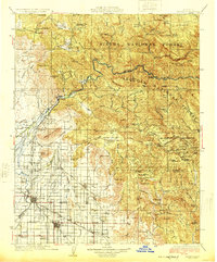
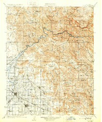
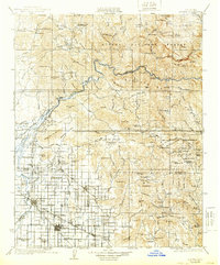
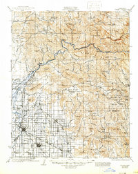
The Kings River divides the landscape into a sprawling network of citrus groves and agricultural settlements at the base of the Sierra Nevada foothills. In the valley floor, the development of the Alta Canal and Wahtoke Canal supports intensive cultivation, anchored by the Wahtoke Winery and the growing hubs of Dinuba, Reedley, and Orange Cove. This era shows a high density of rural educational infrastructure, with dozens of local institutions like the Great Western School and the Sycamore Creek Indian School serving the farming and ranching population.
Find a feature on this map
138 named features on this map. Tap any name to fly to it.
Don’t see what you’re looking for? This feature index may not catch every label — zoom into the map to look around manually.
Map Details
Editions of this 1924 Dinuba Map
5 editions found
Other maps of this area

1903 · Tehipite
USGS Topo · 1:125,000

1904 · Kaiser
USGS Topo · 1:125,000

1904 · Kaweah
USGS Topo · 1:125,000

1905 · Tehipite
USGS Topo · 1:125,000

1909 · Kaweah
USGS Topo · 1:125,000

1912 · Mariposa
USGS Topo · 1:125,000

1912 · Mt. Goddard
USGS Topo · 1:125,000

1920 · Orangedale School
USGS Topo · 1:24,000

1921 · Squaw Valley
USGS Topo · 1:31,680

1921 · Stokes Mountain
USGS Topo · 1:24,000