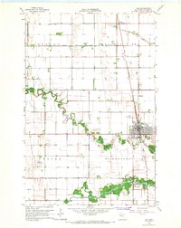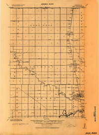
1924 Map of Ada
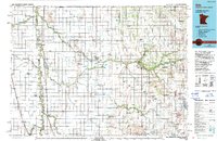
USGS Topo · Published 1944About this map
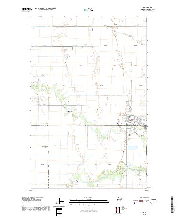
Ada serves as the regional hub for this Red River Valley landscape, centered around the Ada Courthouse Tower and a localized rail economy during the 1920s. The Great Northern railroad dictates the pattern of settlement, linking the grain elevators at Lockhart Station and Hadler to broader markets. Beyond the town limits, the terrain is defined by a dense network of drainage ditches and the meandering Wild Rice River, reflecting the intensive agricultural development of Norman County.
Find a feature on this map
57 named features on this map. Tap any name to fly to it.
Don’t see what you’re looking for? This feature index may not catch every label — zoom into the map to look around manually.
Map Details
Editions of this 1924 Ada Map
This is the sole edition of this map. No revisions or reprints were ever made.
Historical Maps of Ada Through Time
8 maps found