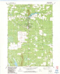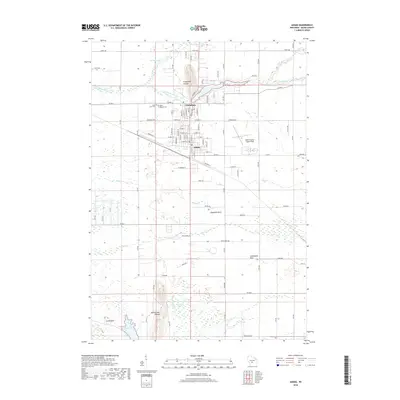
1961 Map of Adams
USGS Topo · Published 1970About this map
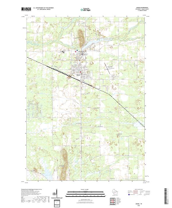
Friendship and Adams serve as the central hubs for this 1961 survey, where the Chicago And North Western railroad tracks bisect the landscape. The western boundary is defined by the massive Wisconsin River Flowage and Castle Rock, creating a distinct shoreline dotted with landmarks like the Quincy Cem and Gaging Station. Moving east from the river, the terrain rises into prominent formations including Quincy Bluff, Rattlesnake Mound, and Friendship Mound, which overlook a network of smaller waterways like Little Roche a Cri Creek and Duck Creek.
Find a feature on this map
71 named features on this map. Tap any name to fly to it.
Don’t see what you’re looking for? This feature index may not catch every label — zoom into the map to look around manually.
Map Details
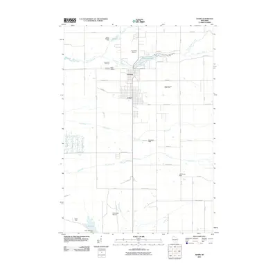
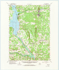
Editions of this 1961 Adams Map
2 editions found
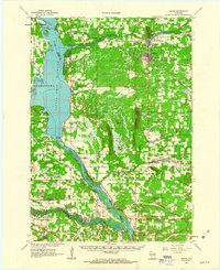
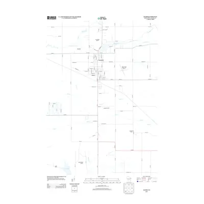
Historical Maps of Adams Through Time
7 maps found