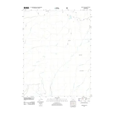
2011 Map of Adams Lake
USGS Topo · Published 2011About this map
Clinetop Mesa anchors the northern reaches of this high-elevation landscape in Garfield County, where a complex network of seasonal drainage and named springs defines the water table. The topography is marked by significant vertical relief, ranging from the prominent Flatiron Mountain and Tibbetts Ridge in the southeast to Spring Hill near the center of the quadrangle. Several high-country water bodies, including Adams Lake and Bugle Lake, are fed by a series of drainages like Canyon Creek and East Elk Creek. This 2011 survey captures the distribution of vital water sources in an arid environment, specifically locating Boiler Spring, Second Set Spring, Third Set Spring, and Bearwallow Spring. These features, alongside the remote route 601, illustrate the vital infrastructure required for range management and resource access in this part of the Colorado Rockies.
Find a feature on this map
20 named features on this map. Tap any name to fly to it.
Don’t see what you’re looking for? This feature index may not catch every label — zoom into the map to look around manually.
Map Details
Editions of this 2011 Adams Lake Map
This is the sole edition of this map. No revisions or reprints were ever made.
Other maps of this area

1906 · Grand Hogback
USGS Topo · 1:125,000

1910 · Grand Hogback
USGS Topo · 1:125,000

1927 · Glenwood Springs
USGS Topo · 1:125,000

1930 · Glenwood Springs
USGS Topo · 1:125,000

1957 · Leadville
USGS Topo · 1:250,000

1959 · Leadville
USGS Topo · 1:250,000

1960 · Leadville
USGS Topo · 1:250,000

1961 · Glenwood Springs
USGS Topo · 1:24,000

1962 · Leadville
USGS Topo · 1:250,000

1962 · New Castle
USGS Topo · 1:24,000