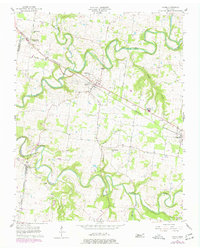
1957 Map of Adams
USGS Topo · Published 1977About this map
The Red River and its major tributaries, the Elk Fork and Sulphur Fork, dictate the landscape of this Tennessee region. This mid-century topography reveals a rural economy tied to the Louisville and Nashville railroad, which links the settlements of Sadlersville (Sadlers Sta), Adams, and Cedar Hill. The map is particularly useful for genealogists, as it identifies numerous small community anchors like Bells Ch, Little Star Ch, and Mt Herman Ch, alongside the Jo-Byrns High Sch. A shared boundary between Montgomery Co and Robertson Co runs through the western section, while the river's winding course is monitored by a Gaging Sta and a Radio Tower, reflecting the infrastructure supporting the river valley in the 1950s and 1970s.
Find a feature on this map
29 named features on this map. Tap any name to fly to it.
Don’t see what you’re looking for? This feature index may not catch every label — zoom into the map to look around manually.
Map Details
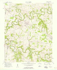
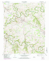
Editions of this 1957 Adams Map
4 editions found
Other maps of this area

1903 · Nashville
USGS Topo · 1:125,000

1931 · Ridgetop
USGS Topo · 1:62,500

1935 · Ridgetop
USGS Topo · 1:62,500

1950 · Allensville
USGS Topo · 1:24,000

1950 · Guthrie
USGS Topo · 1:24,000

1951 · Dot
USGS Topo · 1:24,000

1952 · Springfield North
USGS Topo · 1:24,000

1956 · Nashville
USGS Topo · 1:250,000

1957 · Adams
USGS Topo · 1:24,000

1957 · Pleasant View
USGS Topo · 1:24,000