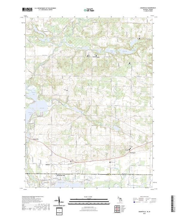
2023 Map of Adamsville
USGS Topo · Published 2023About this map
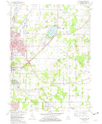
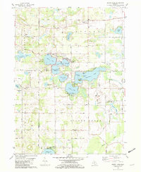
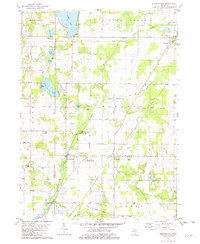
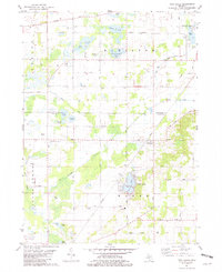
Calvin Center and the surrounding township of Cass County reflect a landscape defined by glacial kettle lakes and small agricultural crossroads settlements. The region is marked by an extensive chain of water bodies, including the interconnected Christiana Lake, Juno Lake, and Painter Lake in the southwest, and a northern cluster featuring Robinson Lake and Leininger Lake. These waters have long influenced local settlement patterns, with Adamsville and Kessington serving as primary hubs for the surrounding farming community.
Find a feature on this map
98 named features on this map. Tap any name to fly to it.
Don’t see what you’re looking for? This feature index may not catch every label — zoom into the map to look around manually.
Map Details
Editions of this 2023 Adamsville Map
This is the sole edition of this map. No revisions or reprints were ever made.
Historical Maps of Allenton Through Time
15 maps found
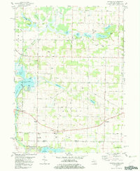
1981 Adamsville
Cass County, MI
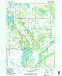
1981 Jones
Cass County, MI
1981 Mottville
Cass County, MI
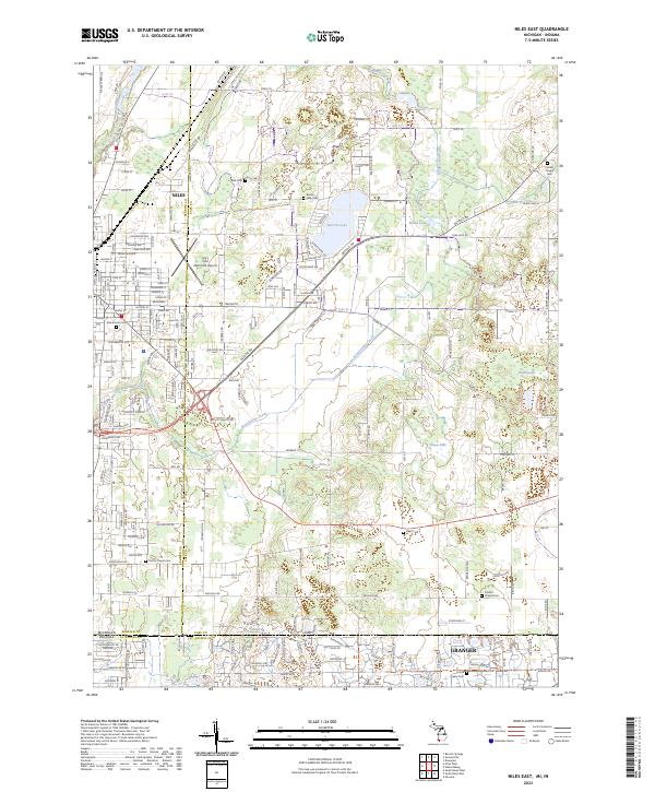
1981 Niles East
Cass County, MI
1981 Sister Lakes
Cass County, MI
1981 Sumnerville
Cass County, MI
1981 Twin Lakes
Cass County, MI
1992 Mottville
Cass County, MI
2023 Adamsville
Cass County, MI
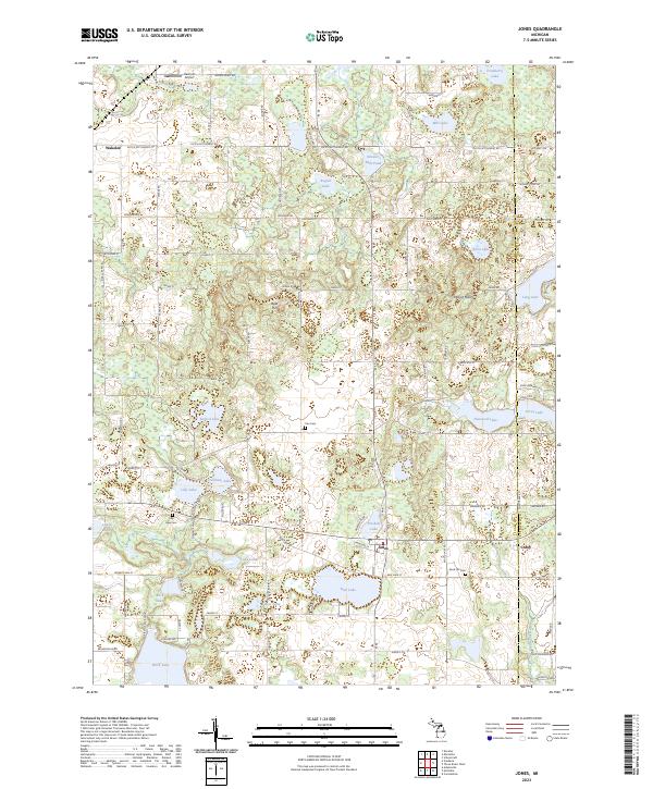
2023 Jones
Cass County, MI
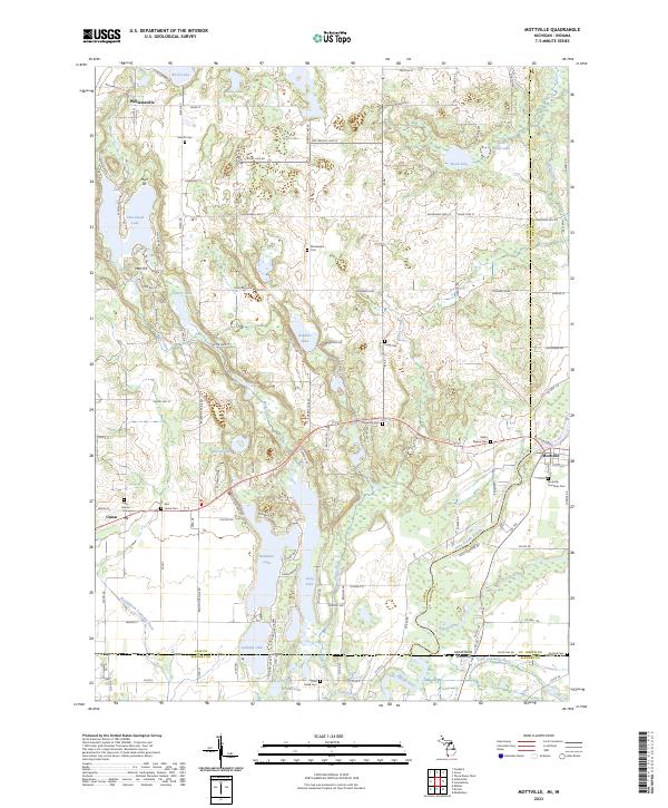
2023 Mottville
Cass County, MI
2023 Niles East
Cass County, MI
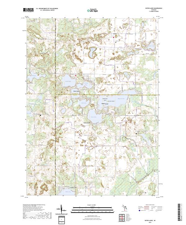
2023 Sister Lakes
Cass County, MI
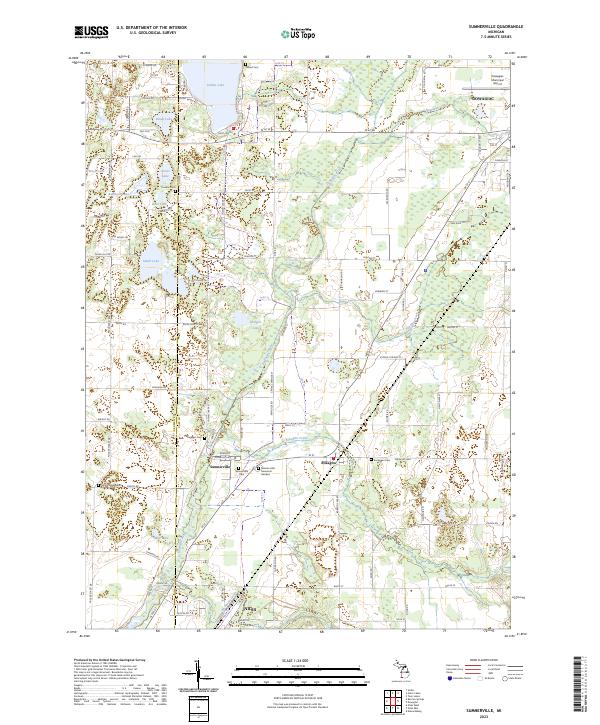
2023 Sumnerville
Cass County, MI
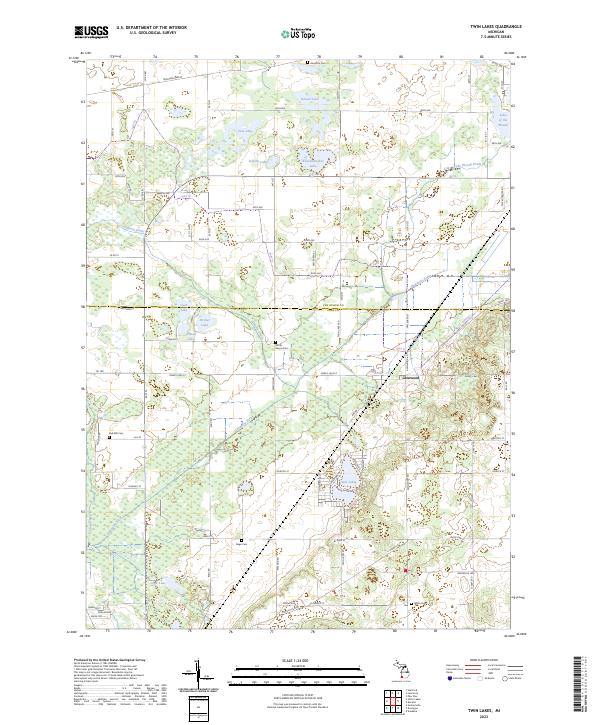
2023 Twin Lakes
Cass County, MI