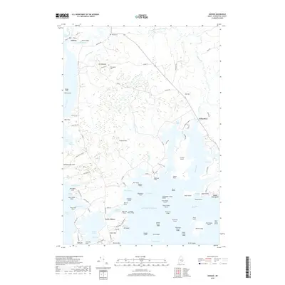
2018 Map of Addison
USGS Topo · Published 2018About this map
Addison Point and the coastal village of South Addison anchor this coastal Washington County landscape, where the Pleasant River and Indian River meet the Atlantic. The shoreline is defined by a complex network of inlets and islands, from the expansive Crowley Island to smaller landmasses like John White Island and Carrying Place Island. Local history is visible in the placement of the Wescogus Cem and the naming of interior landmarks such as The Highlands and Porcupine Hill.
Find a feature on this map
116 named features on this map. Tap any name to fly to it.
Don’t see what you’re looking for? This feature index may not catch every label — zoom into the map to look around manually.
Map Details
Editions of this 2018 Addison Map
This is the sole edition of this map. No revisions or reprints were ever made.
Other maps of this area

1902 · Cherryfield
USGS Topo · 1:62,500

1904 · Cherryfield
USGS Topo · 1:62,500

1904 · Petit Manan
USGS Topo · 1:62,500

1921 · Great Wass Island
USGS Topo · 1:62,500

1921 · Columbia Falls
USGS Topo · 1:62,500

1921 · Columbia Falls
USGS Topo · 1:62,500

1941 · Columbia Falls
USGS Topo · 1:62,500

1942 · Cherryfield
USGS Topo · 1:62,500

1942 · Columbia Falls
USGS Topo · 1:62,500

1948 · Jonesport
USGS Topo · 1:24,000