
1948 Map of Jonesport
USGS Topo · Published 1965About this map
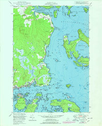
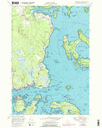
The coastal village of Jonesport and the nearby island community of Beals anchor this mid-century survey of the Downeast shoreline. Grounded in hydrography dating back to the late 19th century, the map reveals a maritime landscape defined by intricate passages and family-named landmarks like Kelley Point and Sawyer Island. The settlement pattern at West Jonesport and Monsapec reflects a local economy tied to the sea, where multiple wharves and small clusters of buildings line Donovan Cove and Cross Cove.
Find a feature on this map
95 named features on this map. Tap any name to fly to it.
Don’t see what you’re looking for? This feature index may not catch every label — zoom into the map to look around manually.
Map Details
Editions of this 1948 Jonesport Map
3 editions found
Other maps of this area

1918 · Machias
USGS Topo · 1:62,500

1921 · Great Wass Island
USGS Topo · 1:62,500

1921 · Columbia Falls
USGS Topo · 1:62,500

1921 · Columbia Falls
USGS Topo · 1:62,500

1941 · Columbia Falls
USGS Topo · 1:62,500

1941 · Machias
USGS Topo · 1:62,500

1942 · Columbia Falls
USGS Topo · 1:62,500
1948 · Columbia Falls
USGS Topo · 1:24,000

1948 · Roque Bluffs
USGS Topo · 1:24,000

1948 · Drisko Island
USGS Topo · 1:24,000