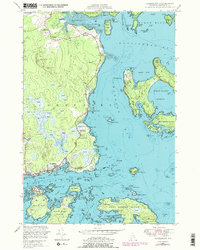
1948 Map of Jonesport
USGS Topo · Published 1978About this map
Jonesport and the neighboring island community of Beals anchor this coastal survey, which documents the maritime landscape of Washington County before modern development. The map details a complex network of thoroughfares and reaches, including Moosabec Reach and the intricate channels surrounding Roque Island and Great Spruce Island. Inland, the terrain is defined by numerous heaths and small drainages like Mansfield Cr and Sandy River, showing the traditional balance between seafaring life and the resource-rich interior. For local historians, the sheet identifies essential community landmarks such as the Kelley School, the U S Coast Guard Reservation, and Greenwood Cem. Small settlements like West Jonesport and Monsapec are clearly delineated, offering a precise view of residential patterns and coastal infrastructure during the mid-20th century.
Find a feature on this map
124 named features on this map. Tap any name to fly to it.
Don’t see what you’re looking for? This feature index may not catch every label — zoom into the map to look around manually.
Map Details
Editions of this 1948 Jonesport Map
3 editions found
Other maps of this area

1918 · Machias
USGS Topo · 1:62,500

1921 · Great Wass Island
USGS Topo · 1:62,500

1921 · Columbia Falls
USGS Topo · 1:62,500

1921 · Columbia Falls
USGS Topo · 1:62,500

1941 · Columbia Falls
USGS Topo · 1:62,500

1941 · Machias
USGS Topo · 1:62,500

1942 · Columbia Falls
USGS Topo · 1:62,500

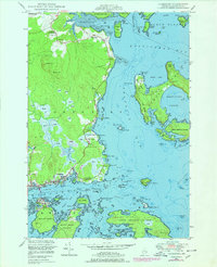
1948 · Jonesport
USGS Topo · 1:24,000
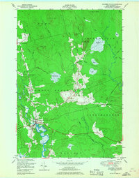
1948 · Columbia Falls
USGS Topo · 1:24,000

1948 · Roque Bluffs
USGS Topo · 1:24,000