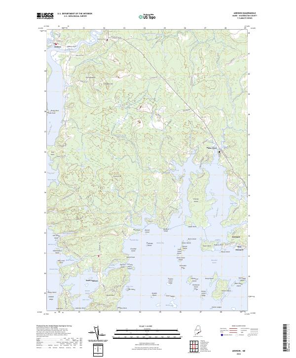
2024 Map of Addison
USGS Topo · Published 2024About this map
Pleasant River flows through the town of Addison, where the community of Addison Point serves as a historic center for this coastal Maine region. The geography is defined by a deeply fractured coastline where the West River and Indian River meet the Atlantic, creating protected waters in Reynolds Bay and Wohoa Bay. Inland, the landscape rises toward The Highlands and Hardwood Hill, providing a view of the intricate network of islands like Crowley Island and Chandler Island that shield the mainland from the open sea.
Find a feature on this map
120 named features on this map. Tap any name to fly to it.
Don’t see what you’re looking for? This feature index may not catch every label — zoom into the map to look around manually.
Map Details
Editions of this 2024 Addison Map
This is the sole edition of this map. No revisions or reprints were ever made.
Other maps of this area

1902 · Cherryfield
USGS Topo · 1:62,500

1904 · Cherryfield
USGS Topo · 1:62,500

1904 · Petit Manan
USGS Topo · 1:62,500

1921 · Great Wass Island
USGS Topo · 1:62,500

1921 · Columbia Falls
USGS Topo · 1:62,500

1921 · Columbia Falls
USGS Topo · 1:62,500

1941 · Columbia Falls
USGS Topo · 1:62,500

1942 · Cherryfield
USGS Topo · 1:62,500

1942 · Columbia Falls
USGS Topo · 1:62,500

1948 · Jonesport
USGS Topo · 1:24,000