2024 Map of Adjuntas
USGS Topo · Published 2024About this map
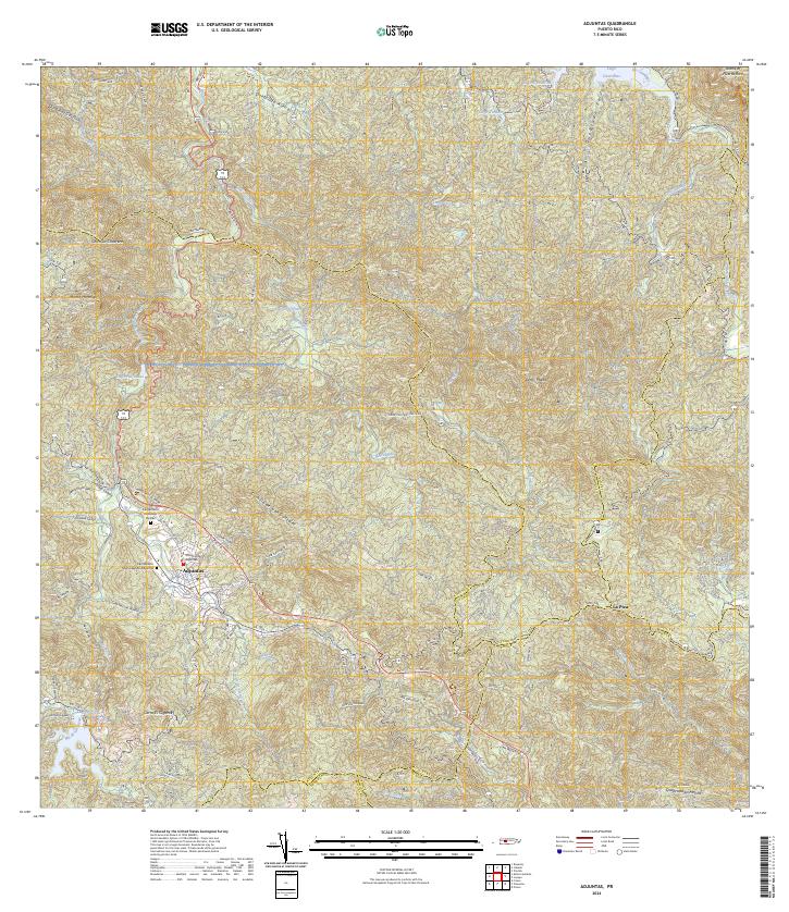
Adjuntas sits at a geographic crossroads in the central mountains, serving as a gateway between the northern and southern watersheds of Puerto Rico. The landscape is defined by its dramatic hydrology, where the Rio Grande de Arecibo and the Rio Pellejas carve through the high terrain. Local infrastructure is anchored by the Tribunal de Adjuntas and the Cementerio Municipal de Adjuntas, while the surrounding barrios such as BO Pellejas and BO Garzas reveal a dense network of family-named roads like Carr Alfonso Abreu and Cam Rafael Muniz. Large reservoirs including Lago Caonillas and Lago Garzas dominate the north and south, reflecting the region's importance for water management. The survey captures the intricate relationship between the steep elevations of Cerro El Gigante and the winding agricultural routes that connect isolated mountain communities like La Pica.
Find a feature on this map
66 named features on this map. Tap any name to fly to it.
Don’t see what you’re looking for? This feature index may not catch every label — zoom into the map to look around manually.
Map Details
Editions of this 2024 Adjuntas Map
This is the sole edition of this map. No revisions or reprints were ever made.
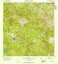
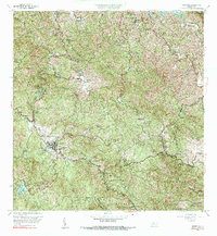
Historical Maps of Adjuntas Through Time
4 maps found

Featured Locations
- Chorreras, Utuado
- Sector Vickey Oquendo, Adjuntas
- Adjuntas, Adjuntas
- Barriada La Olimpia, Adjuntas
- Sector Los Verdes, Adjuntas