Loading...
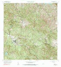
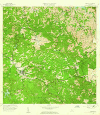
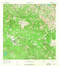
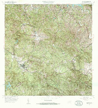
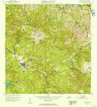
Loading map...1960 Map of Adjuntas
USGS Topo · Published 1991About this map
Adjuntas sits at the heart of this 1960 landscape, serving as a central hub for the surrounding coffee-growing region and mountain barrios. The settlement pattern is defined by traditional agricultural estates such as Hacienda La Esperanza and Hacienda Santa Elena, which reflect the area's deep agrarian roots. The terrain is marked by significant hydrological features including Lago Pellejas and Lago Garzas, alongside the winding courses of the Rio Grande de Arecibo.
Find a feature on this map
62 named features on this map. Tap any name to fly to it.
Don’t see what you’re looking for? This feature index may not catch every label — zoom into the map to look around manually.
Map Details
Date Portrayed1960
Date Published1991
PublisherU.S. Geological Survey
Map TypeTopographic
Scale1:20,000
Physical Dimensions29.7 x 32.2 inches
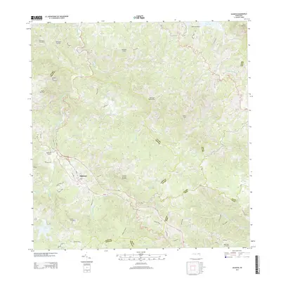
Editions of this 1960 Adjuntas Map
4 editions found
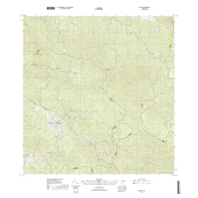
Historical Maps of Adjuntas Through Time
6 maps found

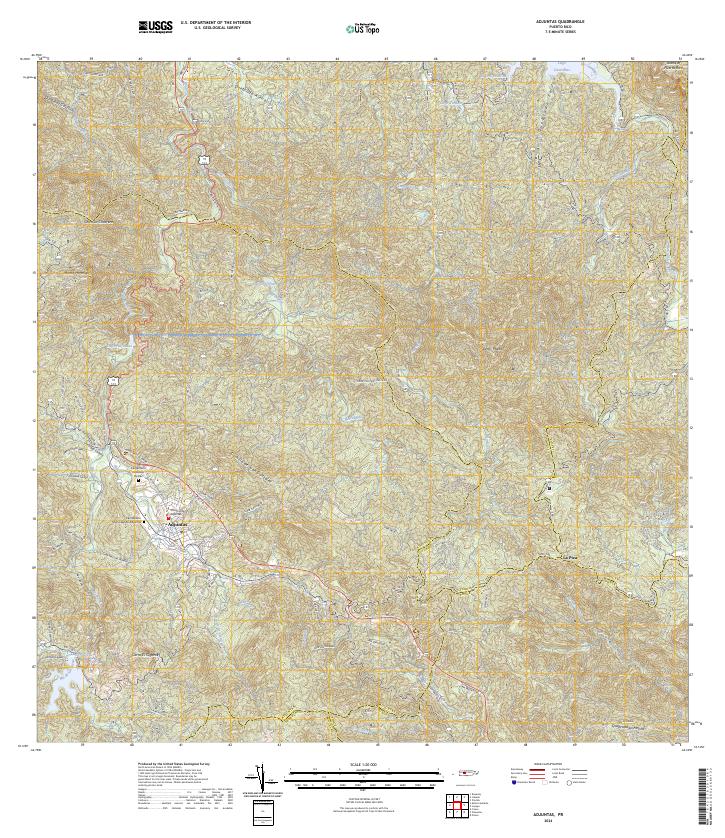
Featured Locations
- Altos de Arena, Utuado
- Sector Vickey Oquendo, Adjuntas
- Adjuntas, Adjuntas
- Barriada La Olimpia, Adjuntas
- Sector Los Verdes, Adjuntas
Source Details
SourceU.S. Geological Survey
CopyrightPublic Domain