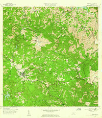
1960 Map of Adjuntas
USGS Topo · Published 1962About this map
Adjuntas sits at the heart of this 1960 survey, serving as a mountain hub where the headwaters of major river systems like the Rio Grande de Arecibo and Rio Portugués begin their descent. The landscape is defined by traditional coffee-growing estates, including Hacienda La Esperanza, Hacienda El Progreso, and Hacienda Jauca, which reflect the agricultural heritage of the Cordillera Central. Infrastructure of the era is remarkably detailed, showing the Hidroeléctrica Vivi 2 and a network of tunnels connecting various reservoirs such as Lago Garzas and Lago Pellejas. Religious and educational life is anchored by local landmarks like the Iglesia de la Inmaculada Concepción and the Escuela Segunda Unidad Salto Arriba. High peaks including Cerro El Gigante and Cerro La Bandera overlook a complex topography of deep valleys and winding mountain roads that connect the various barrios and municipios.
Find a feature on this map
87 named features on this map. Tap any name to fly to it.
Don’t see what you’re looking for? This feature index may not catch every label — zoom into the map to look around manually.
Map Details
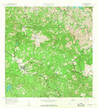
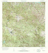
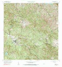
Editions of this 1960 Adjuntas Map
4 editions found
Other maps of this area

1945 · Ponce
USGS Topo · 1:30,000

1946 · Utuado
USGS Topo · 1:30,000

1946 · Bayaney
USGS Topo · 1:30,000

1946 · Yauco
USGS Topo · 1:30,000

1946 · Jayuya
USGS Topo · 1:30,000

1946 · Monte Guilarte
USGS Topo · 1:30,000

1946 · Florida
USGS Topo · 1:30,000

1946 · Penuelas
USGS Topo · 1:30,000

1946 · Adjuntas
USGS Topo · 1:30,000

1947 · Yauco NE
USGS Topo · 1:10,000
Featured Places
- Adjuntas
- Sector Vickey Oquendo, Adjuntas
- Barriada La Olimpia, Adjuntas
- Sector Los Verdes, Adjuntas
- Altos de Arena, Utuado