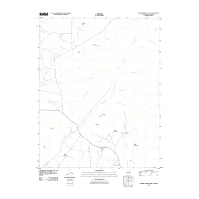
2010 Map of Adobe Downs Ranch
USGS Topo · Published 2010About this map
Adobe Downs Ranch and Wilson Ranch anchor this landscape in northern San Juan County, illustrating the enduring presence of ranching and water management in the high desert. The map reveals an intricate network of arroyos and washes, such as McDermott Arroyo and Hartley Wash, that define the local drainage patterns across the numerous glades, including Farmington Glade and Black Glade.
Find a feature on this map
36 named features on this map. Tap any name to fly to it.
Don’t see what you’re looking for? This feature index may not catch every label — zoom into the map to look around manually.
Map Details
Editions of this 2010 Adobe Downs Ranch Map
This is the sole edition of this map. No revisions or reprints were ever made.
Other maps of this area

1889 · Largo
USGS Topo · 1:250,000

1889 · Chaco
USGS Topo · 1:250,000

1892 · Chaco
USGS Topo · 1:250,000

1895 · Largo
USGS Topo · 1:250,000

1908 · Ignacio
USGS Topo · 1:125,000

1913 · Red Mesa
USGS Topo · 1:62,500

1924 · Ignacio
USGS Topo · 1:125,000

1945 · Durango
USGS Topo · 1:250,000

1953 · Durango
USGS Topo · 1:250,000

1954 · Durango
USGS Topo · 1:250,000