
1892 Map of Chaco
USGS Topo · Published 1892About this map
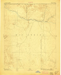
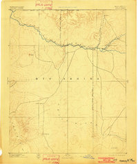
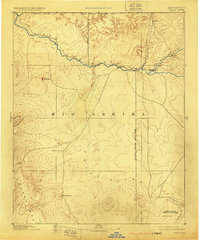
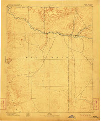
The San Juan River and its major tributaries, the Animas River and La Plata River, dictate the settlement patterns of the Four Corners region in the late nineteenth century. Small riverfront hubs like Farmington, Aztec, and Jewett appear at the intersections of these vital watercourses, while the high desert plains to the south remain dominated by the broad, ephemeral drainage of the Chaco River. The northwestern corner is defined by the Navajo Indian Res. Line, showing the early administrative divisions between tribal lands and the developing Rio Arriba territory. Significant natural landmarks such as Beautiful Mountain and the Chusca Mts rise in the west, while isolated water sources like Sulphur Spring, Sheep Spring, and the Seven Lakes provided critical stops for travelers and livestock in an otherwise arid landscape.
Find a feature on this map
19 named features on this map. Tap any name to fly to it.
Don’t see what you’re looking for? This feature index may not catch every label — zoom into the map to look around manually.
Map Details
Editions of this 1892 Chaco Map
5 editions found
Other maps of this area

1883 · Mt. Taylor
USGS Topo · 1:250,000

1886 · Wingate
USGS Topo · 1:250,000

1886 · Mt. Taylor
USGS Topo · 1:250,000

1886 · Fort Defiance
USGS Topo · 1:250,000

1886 · Abajo
USGS Topo · 1:250,000

1889 · Largo
USGS Topo · 1:250,000

1889 · Chaco
USGS Topo · 1:250,000

1892 · Fort Defiance
USGS Topo · 1:250,000

1892 · Abajo
USGS Topo · 1:250,000

1892 · Wingate
USGS Topo · 1:250,000