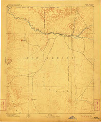
1892 Map of Chaco
USGS Topo · Published 1911About this map
The confluence of the Animas River and San Juan River defines the settlement pattern of this northwestern New Mexico territory during the late nineteenth century. Established outposts like Farmington and Aztec are shown near the northern boundary, while the vast landscape to the south is primarily defined by water sources such as Sulphur Spring and Sheep Spring. The map documents the early delineation of the Navajo Indian Res. Line, providing a view of how political boundaries bisected the high desert terrain. Notable geological landmarks like Ship Rock and the Chuska Mts serve as primary navigational points in an area where developed roads were still sparse. This reconnaissance survey, compiled from the work of W.W. Davis and the Hayden Survey, preserves the location of early camps and settlements like Seven Lakes and Jewett before the further expansion of irrigation and modern infrastructure changed the San Juan Basin.
Find a feature on this map
21 named features on this map. Tap any name to fly to it.
Don’t see what you’re looking for? This feature index may not catch every label — zoom into the map to look around manually.
Map Details
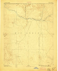
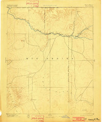
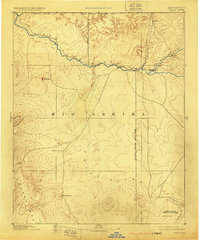
Editions of this 1892 Chaco Map
5 editions found

Other maps of this area

1883 · Mt. Taylor
USGS Topo · 1:250,000

1886 · Wingate
USGS Topo · 1:250,000

1886 · Mt. Taylor
USGS Topo · 1:250,000

1886 · Fort Defiance
USGS Topo · 1:250,000

1886 · Abajo
USGS Topo · 1:250,000

1889 · Largo
USGS Topo · 1:250,000

1889 · Chaco
USGS Topo · 1:250,000

1892 · Fort Defiance
USGS Topo · 1:250,000

1892 · Abajo
USGS Topo · 1:250,000

1892 · Wingate
USGS Topo · 1:250,000