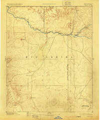
1892 Map of Chaco
USGS Topo · Published 1905About this map
Farmington and Aztec serve as the primary hubs in this late-19th-century reconnaissance of Northwest New Mexico, situated at the confluence of the Animas River, La Plata River, and San Juan River. The landscape is defined by the stark transition from the high Chuska Mountains and the prominent volcanic landmark of Ship Rock in the west to the arid stretches of the Chaco River valley. To the southeast, Chaco Canyon National Monument marks a significant archaeological corridor near Seven Lakes. This survey, incorporating data from the Hayden Survey, illustrates a territory still largely organized around the Navajo Indian Reservation Line and early trading outposts like Jewett and Burnham, predating the more intensive irrigation and development that would later reshape the San Juan Basin.
Find a feature on this map
22 named features on this map. Tap any name to fly to it.
Don’t see what you’re looking for? This feature index may not catch every label — zoom into the map to look around manually.
Map Details
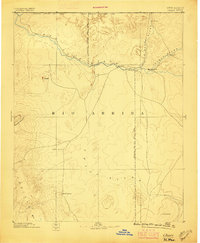
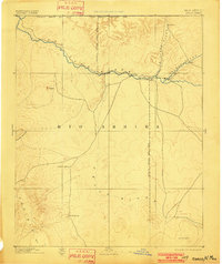
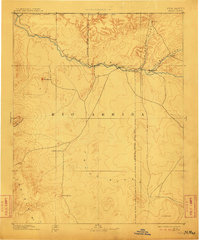
Editions of this 1892 Chaco Map
5 editions found

Other maps of this area

1883 · Mt. Taylor
USGS Topo · 1:250,000

1886 · Wingate
USGS Topo · 1:250,000

1886 · Mt. Taylor
USGS Topo · 1:250,000

1886 · Fort Defiance
USGS Topo · 1:250,000

1886 · Abajo
USGS Topo · 1:250,000

1889 · Largo
USGS Topo · 1:250,000

1889 · Chaco
USGS Topo · 1:250,000

1892 · Fort Defiance
USGS Topo · 1:250,000

1892 · Abajo
USGS Topo · 1:250,000

1892 · Wingate
USGS Topo · 1:250,000