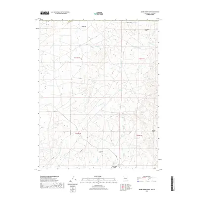
2020 Map of Adobe Downs Ranch
USGS Topo · Published 2020About this map
Adobe Downs Ranch and the North Light Plant anchor the southern portion of this northern New Mexico landscape, which is defined by a complex network of dry washes and named glades. The terrain transitions from the high, open expanse of Jaquez Flat in the northwest toward deep-cut features such as Clyde Walker Canyon and Bohanan Canyon along the eastern margin. This 2020 map documents a sophisticated drainage system where numerous ephemeral watercourses, including Farmington Glade, Dusenberry Glade, and Lawson Glade, carve through the high desert floor. Local transport is represented by the industrial corridor of Railroad 3160 and a series of rural roads like Co Rd 1354 and Rd 3099, providing access to isolated springs such as Mosley Spring and Coyote Spring.
Find a feature on this map
41 named features on this map. Tap any name to fly to it.
Don’t see what you’re looking for? This feature index may not catch every label — zoom into the map to look around manually.
Map Details
Editions of this 2020 Adobe Downs Ranch Map
This is the sole edition of this map. No revisions or reprints were ever made.
Other maps of this area

1889 · Largo
USGS Topo · 1:250,000

1889 · Chaco
USGS Topo · 1:250,000

1892 · Chaco
USGS Topo · 1:250,000

1895 · Largo
USGS Topo · 1:250,000

1908 · Ignacio
USGS Topo · 1:125,000

1913 · Red Mesa
USGS Topo · 1:62,500

1924 · Ignacio
USGS Topo · 1:125,000

1945 · Durango
USGS Topo · 1:250,000

1953 · Durango
USGS Topo · 1:250,000

1954 · Durango
USGS Topo · 1:250,000