
Loading...
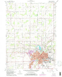
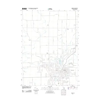
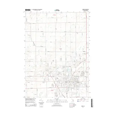
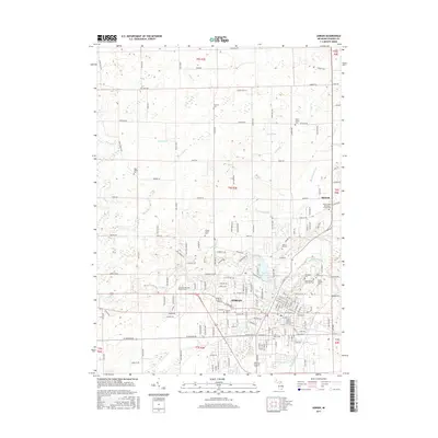
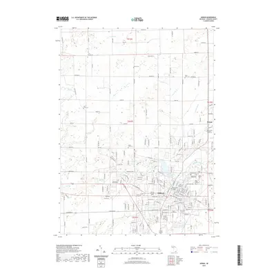
Loading map...1985 Map of Adrian
USGS Topo · Published 1985About this map
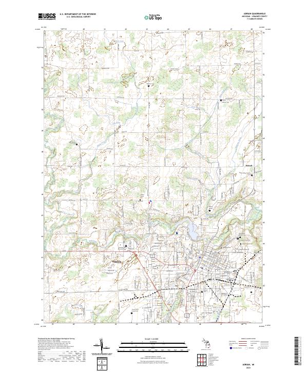
The tri-state junction where Michigan, Indiana, and Ohio meet anchors this 1980s topographic overview, centering on a landscape defined by glacial lakes and a complex network of waterways. Major drainage systems like the St. Joseph River and Tiffin River wind through fertile plains, while concentrated lake clusters such as Manitou Beach, Devils Lake, and Round Lake highlight the region's recreational development.
Find a feature on this map
211 named features on this map. Tap any name to fly to it.
Don’t see what you’re looking for? This feature index may not catch every label — zoom into the map to look around manually.
Map Details
Date Portrayed1985
Date Published1985
PublisherU.S. Geological Survey
Map TypeTopographic
Scale1:100,000
Physical Dimensions40 x 24.1 inches
Editions of this 1985 Adrian Map
This is the sole edition of this map. No revisions or reprints were ever made.
Historical Maps of Adrian Through Time
8 maps found

Featured Locations
Source Details
SourceU.S. Geological Survey
CopyrightPublic Domain