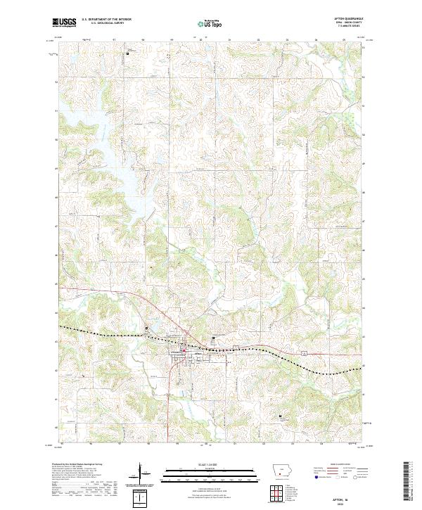
2022 Map of Afton
USGS Topo · Published 2022About this map
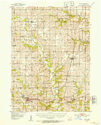
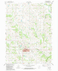
Afton serves as the central hub of this Iowa landscape, where a grid of rural roads connects the community to its surrounding agricultural lands and local heritage sites. The town's layout is defined by streets like E Railroad St and E Grand St, while the Afton Walking Trl provides a modern recreational path through the settlement. To the west, the waters of Lake Afton stand as a prominent local landmark, while the drainage of Threemile Creek and Twelvemile Cr carves across the terrain.
Find a feature on this map
68 named features on this map. Tap any name to fly to it.
Don’t see what you’re looking for? This feature index may not catch every label — zoom into the map to look around manually.
Map Details
Editions of this 2022 Afton Map
This is the sole edition of this map. No revisions or reprints were ever made.