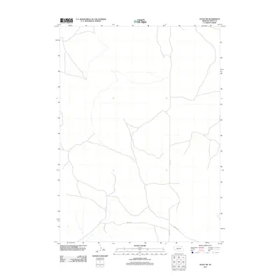
2011 Map of Agate SW
USGS Topo · Published 2011About this map
The high plains of Sheep Creek Precinct in Sioux County are defined by a sparse network of rural routes and the rolling topography of the Nebraska Panhandle. Remote even by Western standards, the landscape is structured by long stretches of gravel and dirt roads that follow the natural contours of the drainage basins. Notable transport corridors include Morrill Rd and Murphys Rd, which intersect in the southern reaches of the quadrangle. A distinct East-West thoroughfare, Moore Rd, crosses the lower portion of the map, providing a vital connection between isolated ranching properties. The spacing of these roads reflects the large-scale land holdings typical of the region, where the terrain often dictates the path of travel more than the grid system of the public land survey.
Find a feature on this map
3 named features on this map. Tap any name to fly to it.
Don’t see what you’re looking for? This feature index may not catch every label — zoom into the map to look around manually.
Map Details
Editions of this 2011 Agate SW Map
This is the sole edition of this map. No revisions or reprints were ever made.
Other maps of this area

1896 · Patrick
USGS Topo · 1:125,000

1899 · Whistle Creek
USGS Topo · 1:125,000

1954 · Torrington
USGS Topo · 1:250,000

1955 · Alliance
USGS Topo · 1:250,000

1957 · Alliance
USGS Topo · 1:250,000

1958 · Torrington
USGS Topo · 1:250,000

1958 · Alliance
USGS Topo · 1:250,000

1963 · Chalk Buttes
USGS Topo · 1:24,000
1963 · Carpenter Ranch
USGS Topo · 1:24,000

1974 · Spoon Butte
USGS Topo · 1:24,000