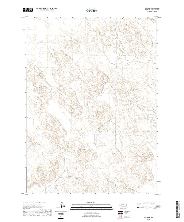
2021 Map of Agate SW
USGS Topo · Published 2021About this map
Sioux County's high plains are defined by a rhythmic pattern of cattle trails and section-line tracks in this contemporary portrait of the Nebraska panhandle. The landscape is structured by the Public Land Survey System, with boundaries like t28n r57w and t27n r56w marking the expansive grid of the American West. Navigation through this open country relies on a handful of long-haul thoroughfares, most notably Morrill Rd, which bisects the quadrangle from north to south. These routes facilitate movement across a terrain primarily dedicated to ranching and conservation, where the lack of clustered settlements emphasizes the sheer scale of the prairie. Smaller local passages, such as Murphy Rd in the northeast and Moore Rd to the south, provide the only reliable access points for researchers and land managers traversing these remote townships.
Find a feature on this map
10 named features on this map. Tap any name to fly to it.
Don’t see what you’re looking for? This feature index may not catch every label — zoom into the map to look around manually.
Map Details
Editions of this 2021 Agate SW Map
This is the sole edition of this map. No revisions or reprints were ever made.
Other maps of this area

1896 · Patrick
USGS Topo · 1:125,000

1899 · Whistle Creek
USGS Topo · 1:125,000

1954 · Torrington
USGS Topo · 1:250,000

1955 · Alliance
USGS Topo · 1:250,000

1957 · Alliance
USGS Topo · 1:250,000

1958 · Torrington
USGS Topo · 1:250,000

1958 · Alliance
USGS Topo · 1:250,000

1963 · Chalk Buttes
USGS Topo · 1:24,000
1963 · Carpenter Ranch
USGS Topo · 1:24,000

1974 · Spoon Butte
USGS Topo · 1:24,000