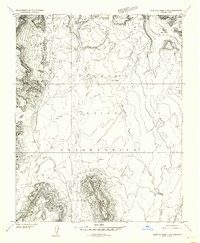
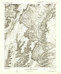
1952 Map of Agathla Peak 2 NE
USGS Topo · Published 1954About this map
The Navajo Indian Reservation landscape is defined by its dramatic geologic features and sparse human infrastructure in the early 1950s. This preliminary survey, based on 1951 aerial photography, covers the arid borderlands between Arizona and Utah. The terrain is marked by significant drainage patterns like Olieto Wash and El Capitan Wash, which cut through the broad expanse of Capitan Flat. Cultural landmarks are few but significant, notably the Hogan Church located near the northern border where Navajo County, Arizona, meets San Juan County, Utah.
Find a feature on this map
9 named features on this map. Tap any name to fly to it.
Don’t see what you’re looking for? This feature index may not catch every label — zoom into the map to look around manually.
Map Details
Editions of this 1952 Agathla Peak 2 NE Map
This is the sole edition of this map. No revisions or reprints were ever made.
Other maps of this area

1883 · Marsh Pass
USGS Topo · 1:250,000

1886 · Henry Mountains
USGS Topo · 1:250,000

1892 · Marsh Pass
USGS Topo · 1:250,000

1892 · Henry Mountains
USGS Topo · 1:250,000
1952 · Clay Hills 4 SW
USGS Topo · 1:24,000
1952 · Clay Hills 3 SE
USGS Topo · 1:24,000
1952 · Agathla Peak 1 NW
USGS Topo · 1:24,000
1952 · Agathla Peak 2 SW
USGS Topo · 1:24,000
1952 · Agathla Peak 2 NW
USGS Topo · 1:24,000
1952 · Boot Mesa
USGS Topo · 1:62,500