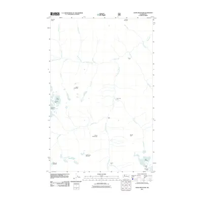
2011 Map of Agnes Mountain
USGS Topo · Published 2011About this map
Agnes Mountain and its surrounding peaks dominate this high-elevation landscape in the Cascades, where ice and water define the geography. The map shows several massive ice bodies, including the Blue Glacier, Chickamin Glacier, and Company Glacier in the southeast. These glaciers feed a complex network of drainages such as West Fork Agnes Creek and the South Fork Agnes Creek. The presence of several established backcountry sites like Fivemile Camp, Swamp Creek Camp, and Hemlock Camp indicates the area's importance for wilderness travel. Notable landmarks such as Gunsight Peak, Needle Peak, and Mount Blankenship provide reference points for those tracking the rugged terrain and the pristine Bannock Lakes.
Find a feature on this map
32 named features on this map. Tap any name to fly to it.
Don’t see what you’re looking for? This feature index may not catch every label — zoom into the map to look around manually.
Map Details
Editions of this 2011 Agnes Mountain Map
This is the sole edition of this map. No revisions or reprints were ever made.
Other maps of this area

1899 · Glacier Peak
USGS Topo · 1:125,000

1901 · Glacier Peak
USGS Topo · 1:125,000

1902 · Stehekin
USGS Topo · 1:125,000

1904 · Stehekin
USGS Topo · 1:125,000

1944 · Holden
USGS Topo · 1:62,500

1949 · Holden
USGS Topo · 1:62,500

1950 · Glacier Peak
USGS Topo · 1:62,500

1955 · Concrete
USGS Topo · 1:250,000

1958 · Concrete
USGS Topo · 1:250,000

1962 · Concrete
USGS Topo · 1:250,000